CNIG - Instituto Geográfico Nacional
Wegen-, wandel-, en topografische kaarten van elk deel van Spanje, zeer gedetailleerd
Daarnaast geeft het CNIG een aantal goede wandelkaarten uit van de Nationale Parken in Spanje zoals het Parque Nacional Ordesa en Picos de Europa.
 Topografische kaart 447-III El Vendrell | CNIG - Instituto Geográfico Nacional
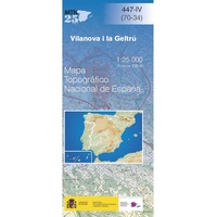 Topografische kaart 447-IV Vilanova I La Geltrú | CNIG - Instituto Geográfico Nacional
 Topografische kaart 448-I Castelldefels | CNIG - Instituto Geográfico Nacional
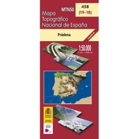 Topografische kaart 458 MT50 Prádena | CNIG - Instituto Geográfico Nacional
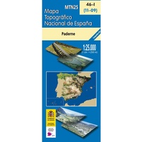 Topografische kaart 46-I Paderne | CNIG - Instituto Geográfico Nacional
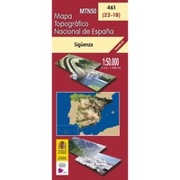 Topografische kaart 461 MT50 Sigüenza | CNIG - Instituto Geográfico Nacional
 Topografische kaart 461-II Horna | CNIG - Instituto Geográfico Nacional
 Topografische kaart 471-II Móra La Nova | CNIG - Instituto Geográfico Nacional
 Topografische kaart 471-III El Pinell de Brai | CNIG - Instituto Geográfico Nacional
 Topografische kaart 472-I Falset | CNIG - Instituto Geográfico Nacional
 Topografische kaart 472-III Vandellòs | CNIG - Instituto Geográfico Nacional
 Topografische kaart 472-IV/473-III Salou | CNIG - Instituto Geográfico Nacional
 Topografische kaart 473-I Tarrogona | CNIG - Instituto Geográfico Nacional
 Topografische kaart 473-II Torredembarra | CNIG - Instituto Geográfico Nacional
 Topografische kaart 484 MT50 Buitrago del Lozoya | CNIG - Instituto Geográfico Nacional
 Topografische kaart 496-I Cretas | CNIG - Instituto Geográfico Nacional
 Topografische kaart 496-II Horta de Sant Joan | CNIG - Instituto Geográfico Nacional
 Wandelkaart 5 Parques Nacionales Garajonay Parque Nacional e isla de la Gomera | CNIG - Instituto Geográfico Nacional
Gedetailleerde wandelkaart 1:25.000. Met ingetekende wandelroutes, hutten en andere overnachtingsmogelijkheden, restaurants en bezienswaardigheden. Met begeleidend boekje met beschrijvingen van 13 wandelingen in het Duits
 Topografische kaart 500-III Villar de Ciervo | CNIG - Instituto Geográfico Nacional
 Topografische kaart 508 MT50 Cercedilla | CNIG - Instituto Geográfico Nacional
Laatste reviews

De ontvanger was er blij mee en gaat er zeker van genieten
★★★★★ door Jan vanVondel 17 februari 2025 | Heeft dit artikel gekocht
Prima verlopen allemaal Alles was naar wens
★★★★★ door Maurice 17 februari 2025 | Heeft dit artikel gekocht
Fijne boekjes van de ANWB om de vakantie voor te bereiden. Veel nuttige en leuke informatie over het gebied. Handig klein landkaartje los er bij. …
★★★★★ door Edwin 17 februari 2025 | Heeft dit artikel gekocht
Ik gebruik altijd deze kaarten van Michelin op vakantie. Schaal is 1 op 150000. Die zijn ideaal. Net het juiste detail-niveau. Alles wat je moet …
★★★★★ door Edwin 17 februari 2025 | Heeft dit artikel gekocht