Gem Trek Maps
Gem Trek maakt supergoede wandel- en wegenkaarten voor Canada!
Gem Trek Publishing is gespecialiseerd in het maken van gedetailleerde wandelkaarten en wegenkaarten van de Canadese Rockies.
Wandelkaarten Gem Trek
Wegenkaarten Gem Trek
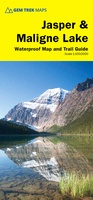 Wandelkaart 01 Jasper National Park & Maligne Lake | Gem Trek Maps
Scheur- en Watervast papier Gem Trek’s JASPER AND MALIGNE LAKE MAP map is designed for outdoor enthusiasts looking to explore the section of Jasper National Park near the town and …
★★★★★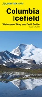 Wandelkaart 02 Columbia Icefield | Gem Trek Maps
Waterproof and tear-resistant hiking and recreation map for the Columbia Icefield region of the Canadian Rockies. Updated with the latest satellite imagery of the icefield extent, Gem Trek's Columbia …
 Wegenkaart - landkaart 02 Canadian Rockies Banff & Jasper | Gem Trek Maps
Goede wegenkaart van Banff & Jasper met bezienswaardigheden, Overnachtingsmogelijkheden, Campings en hete bronnen. This is our most popular driving (touring) map and the map most recommended as an overview for …
★★★★★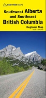 Wegenkaart - landkaart 03 Southwest Alberta & Southeast British Columbia | Gem Trek Maps
Goede wegenkaart van Southwest Alberta en Southeast British Columbia met bezienswaardigheden, overnachtingsmogelijkheden en campings. The sixth edition of this popular 1:500,000-scale map covers Edmonton and Calgary, south to the U.S. …
★★★★★★★★★★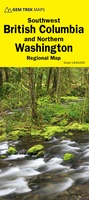 Wegenkaart - landkaart 04 Southwest British Columbia & Northern Washington | Gem Trek Maps
Goede wegenkaart van British Columbia met Nationale Parken, Overnachtingsmogelijkheden, Ski gebieden en bezienswaardigheden. Gem Trek’s Southwest British Columbia & Northern Washington map meets the needs of visitors looking to explore …
★★★★★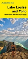 Wandelkaart 04 Lake Louise & Yoho | Gem Trek Maps
Gedetailleerde kaart van dit prachtige gebied; deze kaart is geplastificeerd, scheur- en watervast. Gem Trek’s LAKE LOUISE & YOHO MAP is designed for visitors looking to explore one of North …
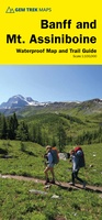 Wandelkaart 05 Banff National Park and Mt. Assiniboine | Gem Trek Maps
This map covers the most popular hiking and mountain biking terrain in Banff National Park, from Lake Louise in the north to the south end of Banff National Park, plus …
★★★★★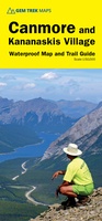 Wandelkaart 06 Canmore & Kananaskis Village | Gem Trek Maps
This map covers some of the most popular terrain for hikers and mountain bikers in Kananaskis Country - Bow Valley Provincial Park, the Canmore area, the Smith-Dorrien/Spray Lakes area south …
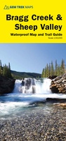 Wandelkaart 08 Bragg Creek and Sheep Valley | Gem Trek Maps
Gem Trek’s BRAGG CREEK & SHEEP VALLEY MAP is for hikers and outdoor enthusiasts looking to explore Kananaskis Country west and south of Bragg Creek. Whether you are touring along …
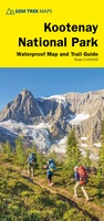 Wandelkaart 10 Kootenay National Park | Gem Trek Maps
This map covers all of Kootenay National Park, from Castle Mountain Junction south through Radium, to Windermere. All the official hiking and mountain biking trails in Kootenay National Park …
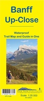 Wandelkaart 11 Banff Up-Close | Gem Trek Maps
Gem Trek Map-Guides Banff Up-Close (11) - This map-and-guide-in-one is designed for people who are only going to be in Banff for one to three days, and want to know …
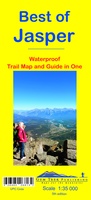 Wandelkaart 12 Best of Jasper | Gem Trek Maps
Water- en scheurvaste wandelkaart van Jasper. Met op de achterzijde een overzicht van de belangrijkste bezienswaardigheden. This map is designed for people who are only going to be in Jasper …
 Wandelkaart 13 Best of Lake Louise Map and Guide | Gem Trek Maps
Mooie, gedetailleerde kaart uit de serie van Gem Trek Hiking map-guides, van het gebied Lake Louise. Helder kleurgebruik en met de beste / mooiste wandelroutes, hikes, fietsroutes, autoroutes en interessante …
★★★★★ Wandelkaart 14 Lake O'Hara | Gem Trek Maps
Mooie, gedetailleerde kaart uit de serie van Gem Trek Hiking map-guides, van het gebied Lake O'Hara. This is a detailed map of the Lake O'Hara area. On the front …
 Wandelkaart 16 Waterton Lakes NP | Gem Trek Maps
The Waterton Lakes National Park map is one of our most popular trail map-guides for the Canadian Rockies. This map covers all of Waterton Lakes National Park, the eastern end …
 Wandelkaart Highwood / Cataract Creek | Gem Trek Maps
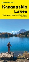 Wandelkaart Kananaskis Lakes | Gem Trek Maps
Waterproof and tear-resistant hiking and recreation map for the Kananaskis Lakes region of the Canadian Rockies Gem Trek's Kananaskis Lakes Map is designed for hikers and outdoor enthusiasts looking …
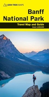 Wegenkaart - landkaart Banff National Park | Gem Trek Maps★★★★★
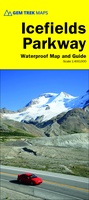 Wegenkaart - landkaart Icefields Parkway | Gem Trek Maps
Whether you have a day or a week to spend exploring the sights along the spectacular Icefields Parkway highway, Gem Trek's ICEFIELDS PAKRWAY MAP, a combination map and guide, will …
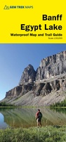 Wandelkaart Banff - Egypt Lake | Gem Trek Maps
Mooie, gedetailleerde kaart uit de serie van Gem Trek Hiking map-guides. Helder kleurgebruik en met de beste / mooiste wandelroutes, hikes en interessante plaatsen erop aangegeven. Gem Trek’s 1:50,000-scale BANFF–EGYPT …
Laatste reviews

Prima aankoop, heel tevreden😎👍
★★★★★ door Andy Overduin 01 april 2025 | Heeft dit artikel gekocht
Met de puzzel van Genève ben ik heel blij. Hij is ook vlot en netjes geleverd.
★★★★★ door Maria Bogaard 01 april 2025 | Heeft dit artikel gekocht
Tot nu toe ben ik tevreden over het boekje Andros, op je gemak van Gerard Kleijne. Deze aangeschaft om me voor te bereiden op mijn …
★★★★★ door Henk Scholte 01 april 2025 | Heeft dit artikel gekocht
Had eigenlijk liever een vouwkaart gehad, maar ben met deze kaart ook tevreden.
★★★★★ door Jim Mönch 31 maart 2025 | Heeft dit artikel gekocht