Wegenatlassen - Europa
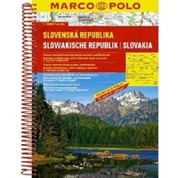 Wegenatlas Slowakije - Slowakische Republik | Marco Polo
Wegenatlas op goede schaal met register / in spiraalbinding Mit landschaftlich schönen Strecken und Sehenswürdigkeiten, Übersichtskarte zum Ausklappen, Entfernungstabelle, Ortsregister, Citypläne, Europateil, Fernstraßenkarte, länderspezifische Verkehrsregelung, Spiralbindung. -Maßstab 1:200.000 -Übersichtskarte zum …
★★★★★ Wegenatlas Letland noord - Vidzeme | Jana Seta
Bijzonder gedetailleerde wegenatlas van een deel van Letland. Uitvoering in ringband en op geplastificeerd papier. Inclusief stadplattegronden van Aluksne, Cesis, Gulbene, Limbaži, Madona, Ogre, Sigulda, Valka, en Valmiera. Jana Seta’s …
 Wegenatlas AA Glovebox Atlas Britain | AA Publishing
This handy atlas fits in the glovebox of your car, perfect for quick referencing on the move. The clear mapping includes a range of essential motoring and useful touring information …
★★★★★ Wegenatlas Britain for Bikers | Voor Motoren | A-Z Map Company
Discover the best biking routes around Great Britain and Northern Ireland. Your essential rideout roadbook covering the best biking routes around Great Britain and Northern Ireland, including short trips and …
 Wegenatlas Atlante Stradale d'Italia Sud | Touring Club Italiano
Atlas van de Italiaanse ANWB, goed kaartbeeld. Wel met omgevingskaarten van belangrijke steden en stadsplattegronden. Kaarten vanaf Rome naar het zuiden. Wegenatlas met gedetaileerde wegenkaarten van zuidelijk Italië, ten zuiden …
★★★★★ Wegenatlas Slovenia Motorcycle atlas - 18 routes | Kartografija
 Wegenatlas Local Explorer Street Atlas Nottinghamshire | Philip's Maps
Philip's created this new series for walkers, cyclists and local explorers at a scale that provides greener options to uncover all the nature and hidden gems in your local area. …
 Wegenatlas France - Frankrijk 2026 | Ringband | Klein Formaat | Michelin
 Wegenatlas Deutschland - Germany - Duitsland 2026-2027 | Freytag & Berndt
Wegenatlas op A4 formaat en spiraalband, in extra grote letters; met duidelijke, goed leesbare kaarten met reliëfschaduwen; informatie over belangrijke bezienswaardigheden; uitgebreid plaatsnamenregister; gedetailleerde informatie over wegen, zoals tolwegen, pittoreske …
 Wegenatlas Great Britain and Northern Ireland Road Atlas 2025 | A3-Formaat | A-Z Map Company
A full-colour, paperback road atlas of Great Britain, now fully revised and updated. Clear detailed road mapping at a scale of 3.5 miles to 1 inch. Presented in a large, …
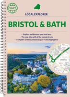 Wegenatlas Local Explorer Street Atlas Bristol and Bath | Philip's Maps
Who hasn't explored and enjoyed their surrounding area recently and come to appreciate what is on our respective doorsteps? Philip's have created this new series for walkers, cyclists and local …
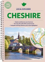 Wegenatlas Local Explorer Street Atlas Cheshire | Philip's Maps
Who hasn't explored and enjoyed their surrounding area recently and come to appreciate what is on our respective doorsteps? Philip's have created this new series for walkers, cyclists and local …
 Wegenatlas Local Explorer Street Atlas Lincolnshire | Philip's Maps
Who hasn't explored and enjoyed their surrounding area recently and come to appreciate what is on our respective doorsteps? Philip's have created this new series for walkers, cyclists and local …
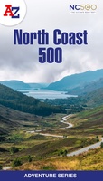 Wegenatlas Adventure Atlas North Coast 500 | A-Z Map Company
The A-Z Adventure Series of maps is the perfect companion for walkers, off-road cyclists, and anyone wishing to explore the great outdoors. The scenic North Coast 500 is one …
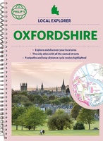 Wegenatlas Local Explorer Street Atlas Oxfordshire | Philip's Maps
Who hasn't explored and enjoyed their surrounding area in recent years and come to appreciate what is on our respective doorsteps? Philip's have created this new series for walkers, cyclists …
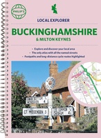 Wegenatlas Local Explorer Street Atlas Buckinghamshire and Milton Keynes | Philip's Maps
Philip's created this new series for walkers, cyclists and local explorers at a scale that provides greener options to uncover all the nature and hidden gems in your local area. …
 Wegenatlas Local Explorer Street Atlas Wiltshire and Swindon | Philip's Maps
Who hasn't explored and enjoyed their surrounding area in recent years and come to appreciate what is on our respective doorsteps? Philip's have created this new series for walkers, cyclists …
 Wegenatlas Local Explorer Street Atlas Derbyshire and the Peak District | Philip's Maps
Who hasn't explored and enjoyed their surrounding area in recent years and come to appreciate what is on our respective doorsteps? Philip's have created this new series for walkers, cyclists …
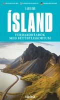 Wegenatlas IJsland met stadsplattegronden | Ringband | A5-Formaat | Ferdakort
Super handige kleine wegenatlas van IJsland (schaal 1:500.000) met vooral een enorme hoeveelheid plattegronden van steden en dorpen, enkele themakaarten en een groot register. De kaarten zijn uitstekend leesbaar en …
 Wegenatlas Zwitserland touring atlas | Hallwag
- 1
- 2
- 3
- Volgende >>
- 7
Laatste reviews

Handige indeling van kaart in twee delen. Prettige structuur en kleurgebruik op kaart Veel informatie over wegen en bijzienswaardigheden Jammer dat bijbehorende informatie alleen digitaal …
★★★★★ door J. Wolf 19 december 2025 | Heeft dit artikel gekocht
De puzzel heeft niet de karakteristiek gevormde puzzelstukjes, maar computer gegenereerde stukjes. Dat makt het leggen van de puzzel een nieuwe en interessante ervaring. Het …
★★★★★ door Wim Scheenen 15 december 2025 | Heeft dit artikel gekocht
Het was een beetje een gok, maar mijn 4 jarige kleinzoon is een puzzel fanaat. Het verbaasde mij hoe zelfstandig hij de puzzel kan maken. …
★★★★★ door Gerard Lijnzaad 15 december 2025 | Heeft dit artikel gekocht
Prima levering. Prima kaart.
★★★★★ door Felix 11 december 2025 | Heeft dit artikel gekocht