Wegenkaart - landkaart Hadrian’s Wall / Noord Engeland | ITMB (9781771293440)
- ISBN / CODE: 9781771293440
- Editie: 01-03-2024
- Druk: 1
- Aantal blz.: 1
- Schaal: 1:130000
- Uitgever: ITMB
- Soort: Wegenkaart
- Taal: Engels
- Hoogte: 25.0 cm
- Breedte: 10.0 cm
- Gewicht: 54.0 g
- Bindwijze: -
- Uitvoering: Papier
- Schrijf als eerste een review
-
€ 13,95
Leverbaar in 3 - 5 werkdagen in huis in Nederland Levertijd Belgie
Gratis verzending in Nederland vanaf €35,-

Beschrijving
Van de uitgever
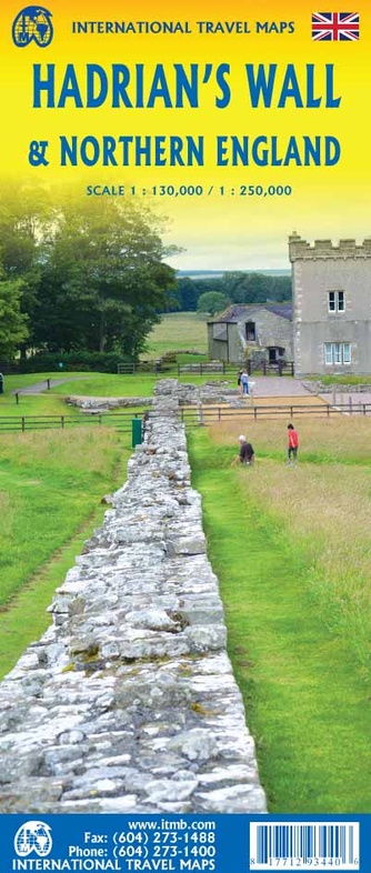
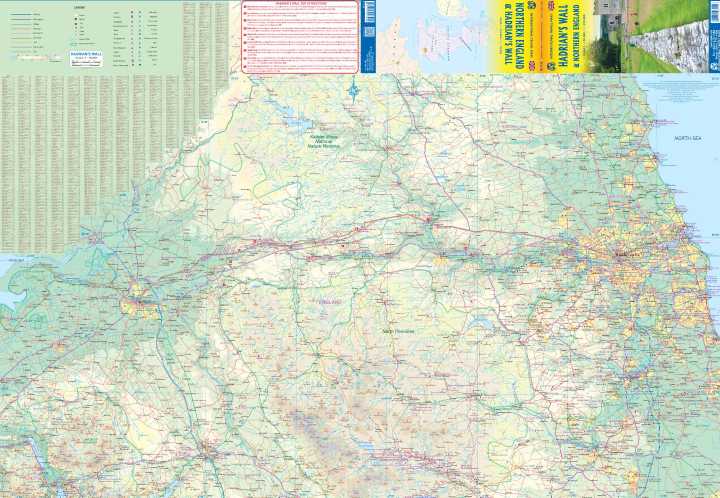
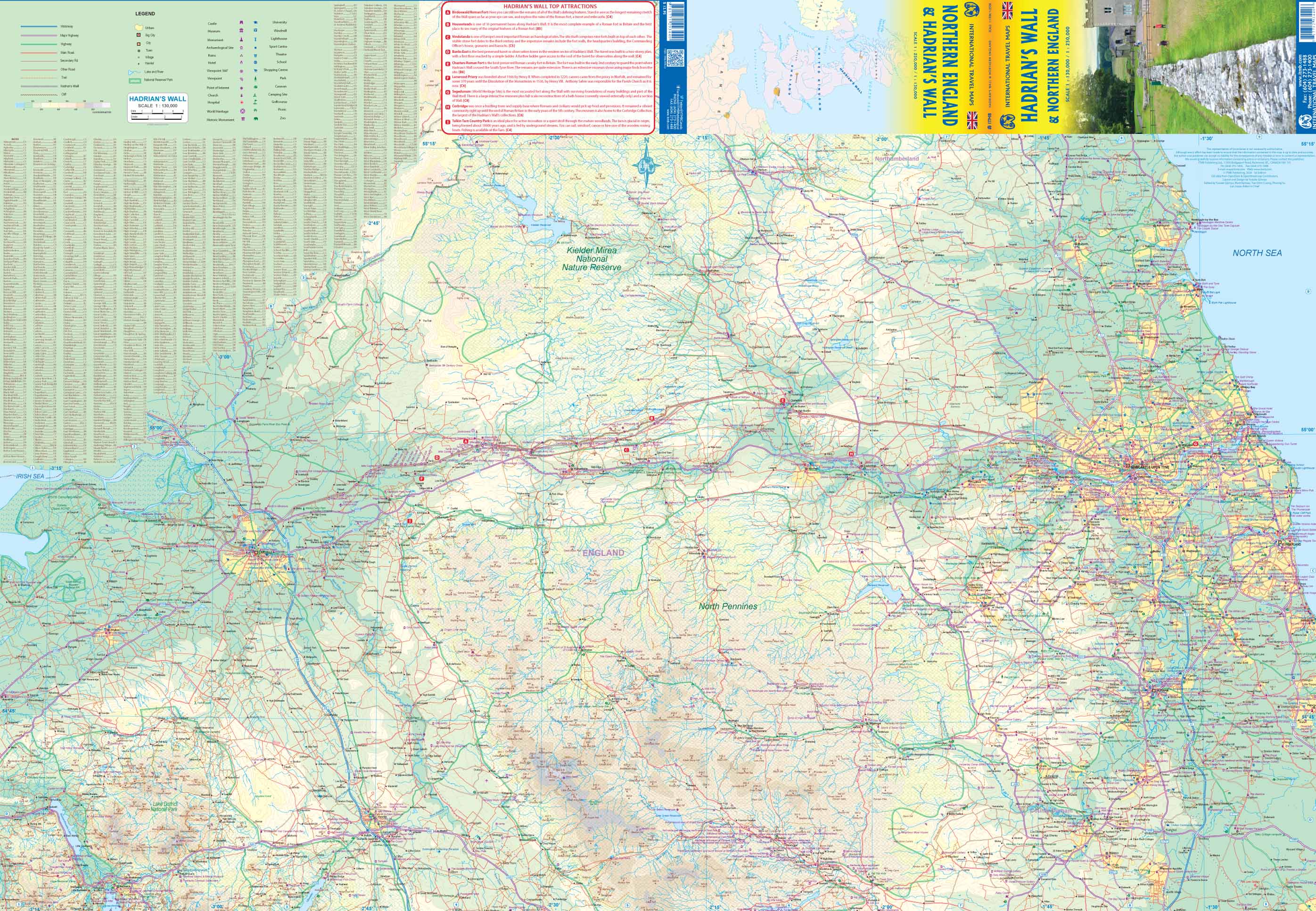
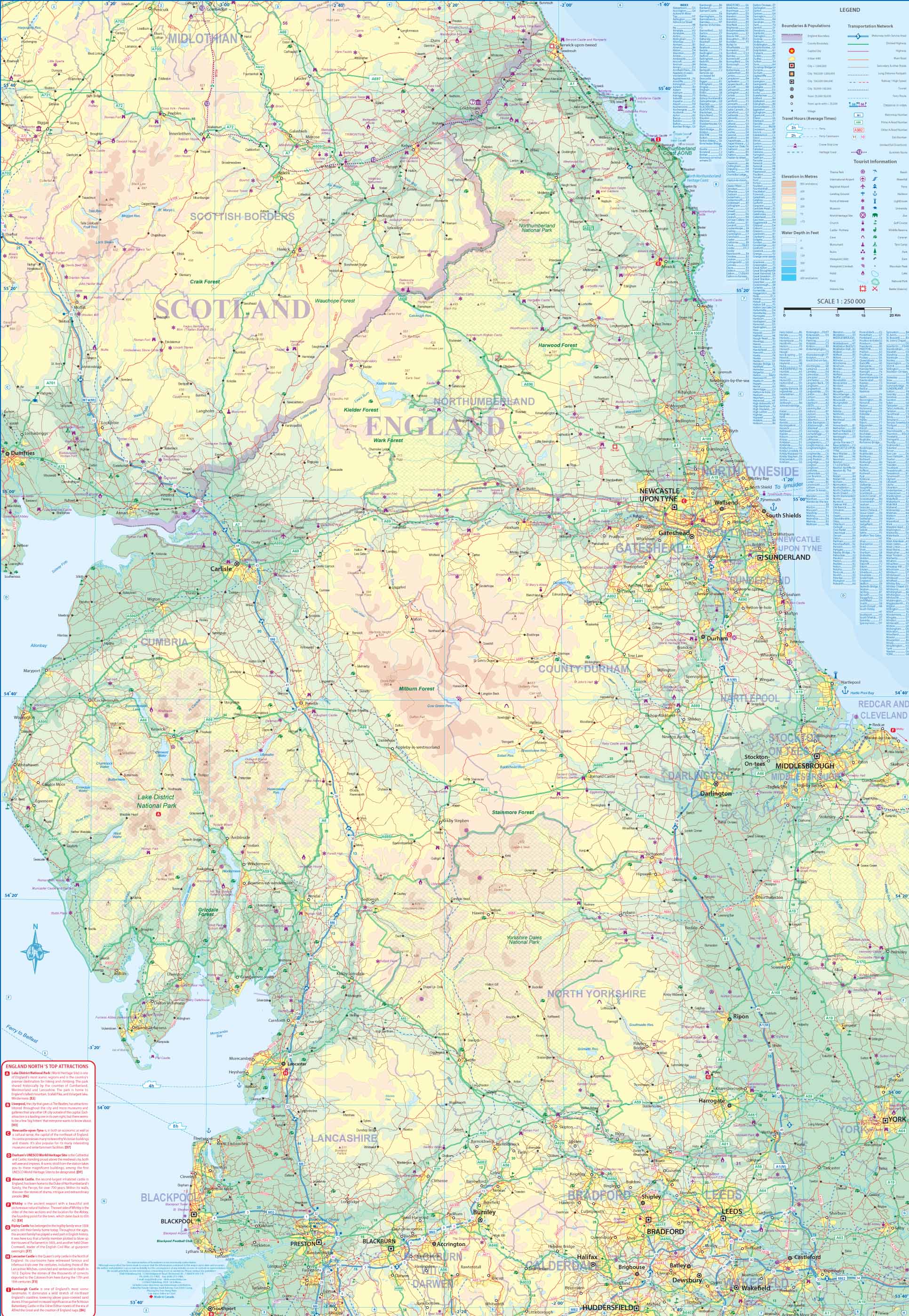
Wegenkaart Hadrian’s Wall / Noord EngelandThe Romans eventually subdued the fiercely independent Britons over time, from Julius Caesar's second invasion to the end of Roman rule in 410AD, but they never brought the extremely unruly Scots or the Welsh under their rule. In fact, raids from Scotland (known to the Romans as Caledonia) were so devastating that Emperor Hadrian ordered a wall built to keep them out. This massive wall stretches from the mouth of the River Esk, west of Carlisle, all the way across northern England to a point on the River Tyne somewhat to the east of modern-day Newcastle. The wall, like the Great Wall of China, was only moderately successful in keeping the Scottish Picts at bay and required a small army just to man the many watch towers and encampments. Nevertheless, it remained as a fortified border until the Roman legions abandoned Britain in 410. Much of the wall was gradually demolished to create housing and fencing on both sides, but the foundations remain, as well as remnants of fortifications along the length of the wall. In today's United Kingdom, the wall is a long-distance hiking trail, a series of museums and memorials, a few temples that have been reconstructed, and some rebuilt portions of a remarkable construction that has survived the ravages of time. It is a 'must see' travel experience for everyone, a life-shaping experience for youngsters, and a massive tribute to the will of the Roman Empire. By the nature of a rectangular sheet of paper, the map shows much more than 'just' the wall, going as far south as Penrith and County Durham, and north into southern Scotland, showing all sorts of attractions that have nothing to do with the wall itself. In short, this is a marvellous travel map for all to enjoy
Legend Includes:
Roads by classification, Rivers and Lakes, National Park, Airports, Points of Interests, Highways, Main Roads, Zoos, Fishing, and much more...
Reviews
Geen reviews gevonden voor dit product.
Schrijf een review
Graag horen wij wat u van dit artikel vindt. Vindt u het goed, leuk, mooi, slecht, lelijk, onbruikbaar of erg handig: schrijf gerust alles op! Het is niet alleen leuk om te doen maar u informeert andere klanten er ook nog mee!
Ook interessant voor europa/engeland/hadrians-wall-path
-

Wandelkaart - Topografische kaart 31
€ 19,50Topografische kaarten North West England -

Reisgids Experience England - Engela
€ 23,95Reisgidsen Engeland -

Wandelgids Hadrian's coastal route |
€ 18,50Wandelgidsen 🥾 Hadrian's Wall Path -

Wandelatlas Hadrian's Wall Path Map
€ 17,95Wandelatlassen North East England -

Reisverhaal Magisch en mystiek Engel
€ 21,95Reisverhalen Engeland