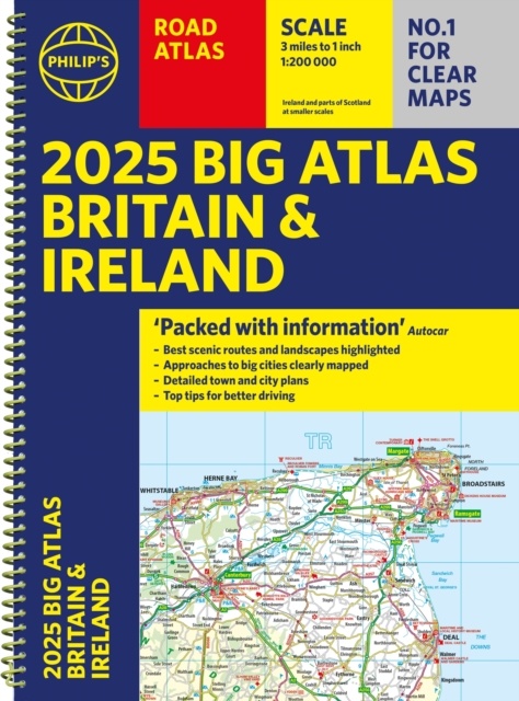
Wegenatlas Big Atlas Britain & Ireland 2024 A3-Formaat | Philip's Maps (9781849076647)
ringband
- ISBN / CODE: 9781849076647
- Editie: 2024
- Aantal blz.: 168
- Schaal: 1:200000
- Uitgever: Philip's Maps
- Soort: Wegenatlas
- Taal: Engels
- Hoogte: 39.6 cm
- Breedte: 29.4 cm
- Dikte: 1.8 cm
- Gewicht: 950.0 g
- Uitvoering: -
- Bindwijze: RIngband
- Beoordeling: 4,0 ★★★★★ (1 review) Schrijf een review
-
€ 23,50
Op voorraad. Voor 17.00 uur op werkdagen besteld, morgen in huis in Nederland Levertijd Belgie
Gratis verzending in Nederland vanaf €35,-


Beschrijving
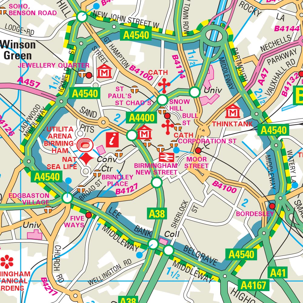
Goede gedetailleerde wegenatlas van Groot-Brittannië, schaal 1:200.000 met een overzichtskaart van Ierland, schaal 1:1.000.000. Groot formaat, A3, en in ringband.
Reviews
Prima, snelle bezorging. Kende de atlas al jaren, bijbesteld voor mijn medereizigers.
★★★★★ door Aik Schouten 4 juni 2018Vond u dit een nuttige review? (login om te beoordelen)
Schrijf een review
Graag horen wij wat u van dit artikel vindt. Vindt u het goed, leuk, mooi, slecht, lelijk, onbruikbaar of erg handig: schrijf gerust alles op! Het is niet alleen leuk om te doen maar u informeert andere klanten er ook nog mee!
Ook interessant voor europa/engeland/wales
-

Reisgids Experience Great Britain -
€ 23,95Reisgidsen Wales -

Accommodatiegids Charming Small Hote
€ 25,95Accommodatiegidsen Wales -

Wegenatlas Navigator Camping and Car
€ 37,50Wegenatlassen Wales -

Campinggids Tiny Campsites in Engela
€ 16,50Campinggidsen Wales -

Wandelgids 100 outstanding British W
€ 27,95Wandelgidsen Wales