Winkelwagen
Geen items in winkelwagen
Ga naar winkelwagen
Kaarten - Vendee
 Wandelkaart - Topografische kaart 1324 SB - Serie Bleue Clisson | IGN - Institut Géographique National
 Wandelkaart - Topografische kaart 1424 SB - Serie Bleue Cholet | IGN - Institut Géographique National
 Wandelkaart - Topografische kaart 1125 SB - Serie Bleue Challans, Machecoul-Saint-Même | IGN - Institut Géographique National
 Wandelkaart - Topografische kaart 1225 SB - Serie Bleue Legé | IGN - Institut Géographique National
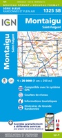 Wandelkaart - Topografische kaart 1325 SB - Serie Bleue Montaigu | IGN - Institut Géographique National
 Wandelkaart - Topografische kaart 1425 SB - Serie Bleue Les Herbiers | IGN - Institut Géographique National
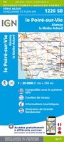 Wandelkaart - Topografische kaart 1226 SB - Serie Bleue Le Poiré-sur-Vie, Aizenay, La Mothe-Achard | IGN - Institut Géographique National
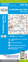 Wandelkaart - Topografische kaart 1326 SB - Serie Bleue La Roche-sur-Yon | IGN - Institut Géographique National
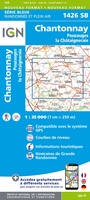 Wandelkaart - Topografische kaart 1426 SB - Serie Bleue Chantonnay | IGN - Institut Géographique National
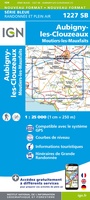 Wandelkaart - Topografische kaart 1227 SB - Serie Bleue Aubigny-les-Clouzeaux | IGN - Institut Géographique National
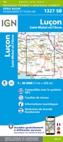 Wandelkaart - Topografische kaart 1327 SB - Serie Bleue Luçon | IGN - Institut Géographique National
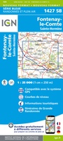 Wandelkaart - Topografische kaart 1427 SB - Serie Bleue Fontenay-le-Comte | IGN - Institut Géographique National
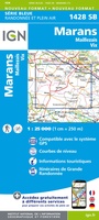 Wandelkaart - Topografische kaart 1428 SB - Serie Bleue Marans | IGN - Institut Géographique National
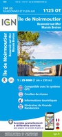 Wandelkaart - Topografische kaart 1125OT Ile de Noirmoutier, Beauvoir-sur-Mer & Bourgneuf-en-Ret | IGN - Institut Géographique National
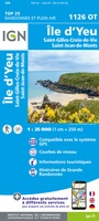 Wandelkaart - Topografische kaart 1126OT Ile d'Yeu, Saint-Gilles-Croix-de-Vie & Saint-Jean-de-Mont | IGN - Institut Géographique National
 Wandelkaart - Topografische kaart 1328OT La Tranche-sur-Mer & Laiguillon-sur-Mer | IGN - Institut Géographique National
 Wandelkaart - Topografische kaart 1329ET La Rochelle - Anse de l'Aiguillon | IGN - Institut Géographique National
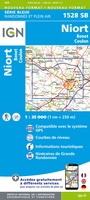 Wandelkaart - Topografische kaart 1528 SB - Serie Bleue Niort | IGN - Institut Géographique National
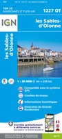 Wandelkaart 1227OT Les Sables-d'Olonne | IGN - Institut Géographique National
 Wegenkaart - landkaart D85 Vendée | IGN - Institut Géographique National
Laatste reviews

Ardeche
Goede , gebruiksvriendelijke en duidelijke beschrijvingen
★★★★★ door Raymond Muys 18 april 2025 | Heeft dit artikel gekocht
perfecte service bij het opzoeken en snelle levering
zoals boven vermeld
★★★★★ door N. Schulte 17 april 2025 | Heeft dit artikel gekocht
Leuk bedacht maar valt tegen
Leuk bedacht deze planner met goede tips. Echter de kaart zelf valt mij tegen qua topografie. Deze is niet super gedetailleerd helaas. Luchthavens bijv ontbreken …
★★★★★ door Marieke 17 april 2025 | Heeft dit artikel gekocht
Keurig netjes bestelling geleverd!
Interessante informatie over Ameland! Boekje helemaal gelezen!!!
★★★★★ door Yolanda Smit-van de Wetering 16 april 2025 | Heeft dit artikel gekocht