Winkelwagen
Geen items in winkelwagen
Ga naar winkelwagen
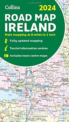
Wegenkaart - landkaart Road Map of Ireland | Collins (9780008607111)
- ISBN / CODE: 9780008607111
- Editie: 2023
- Aantal blz.: 2
- Uitgever: Collins
- Soort: Wegenkaart
- Taal: Engels
- Hoogte: 22.8 cm
- Breedte: 13.5 cm
- Dikte: 2.0 cm
- Bindwijze: -
- Uitvoering: Papier
- Schrijf als eerste een review
-
€ 9,95
Uitverkocht, nooit meer leverbaar
Beschrijving
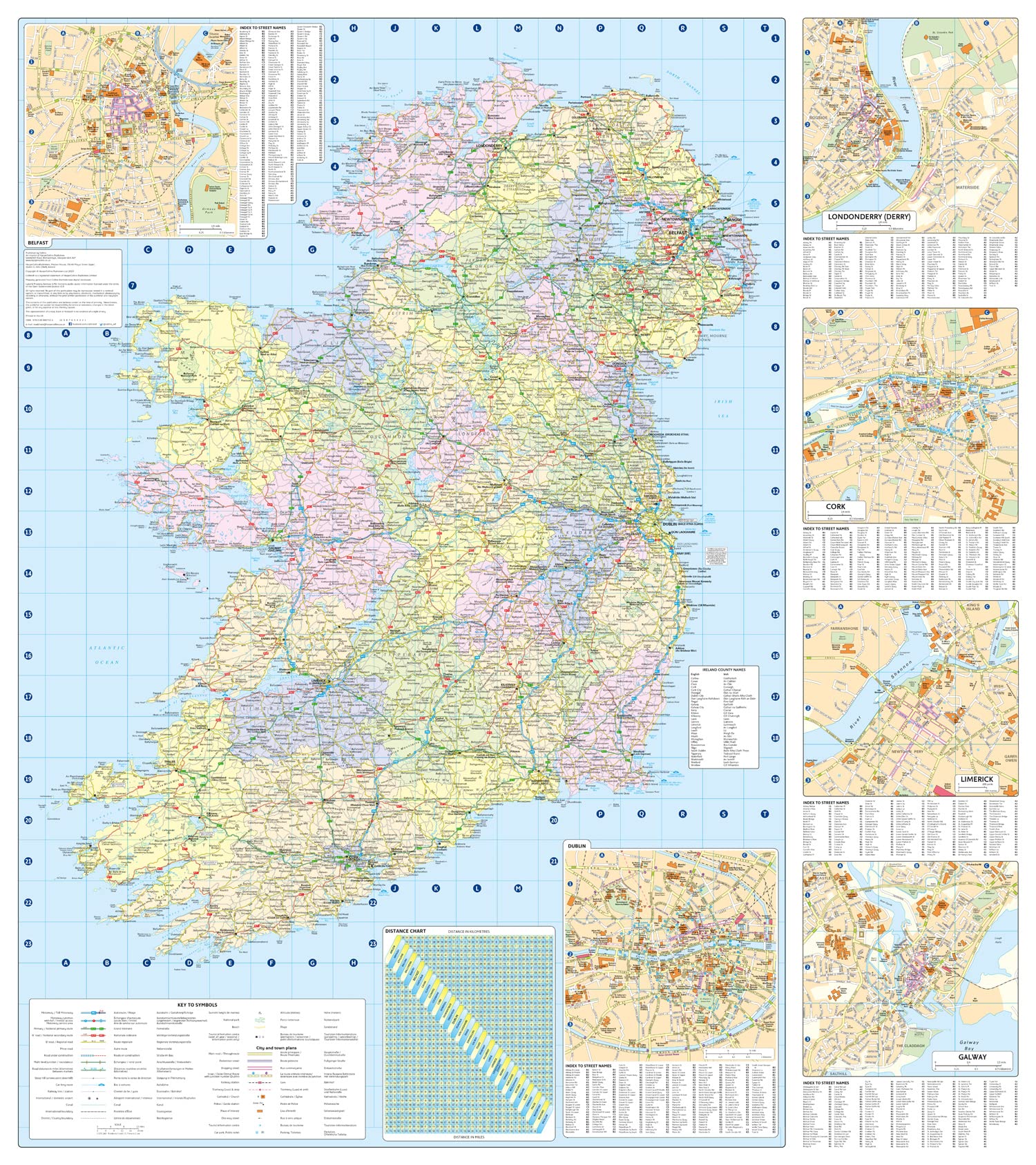
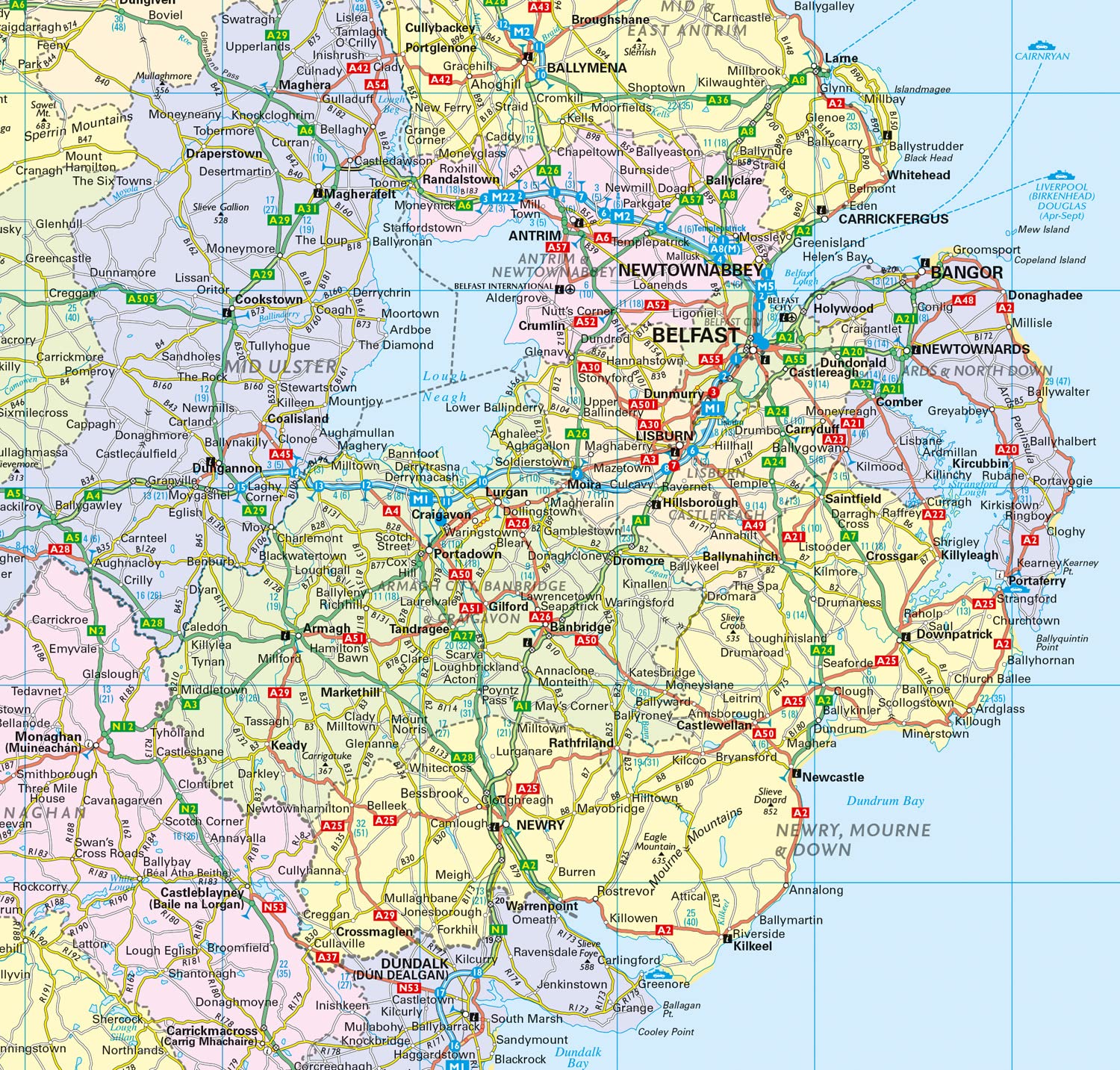
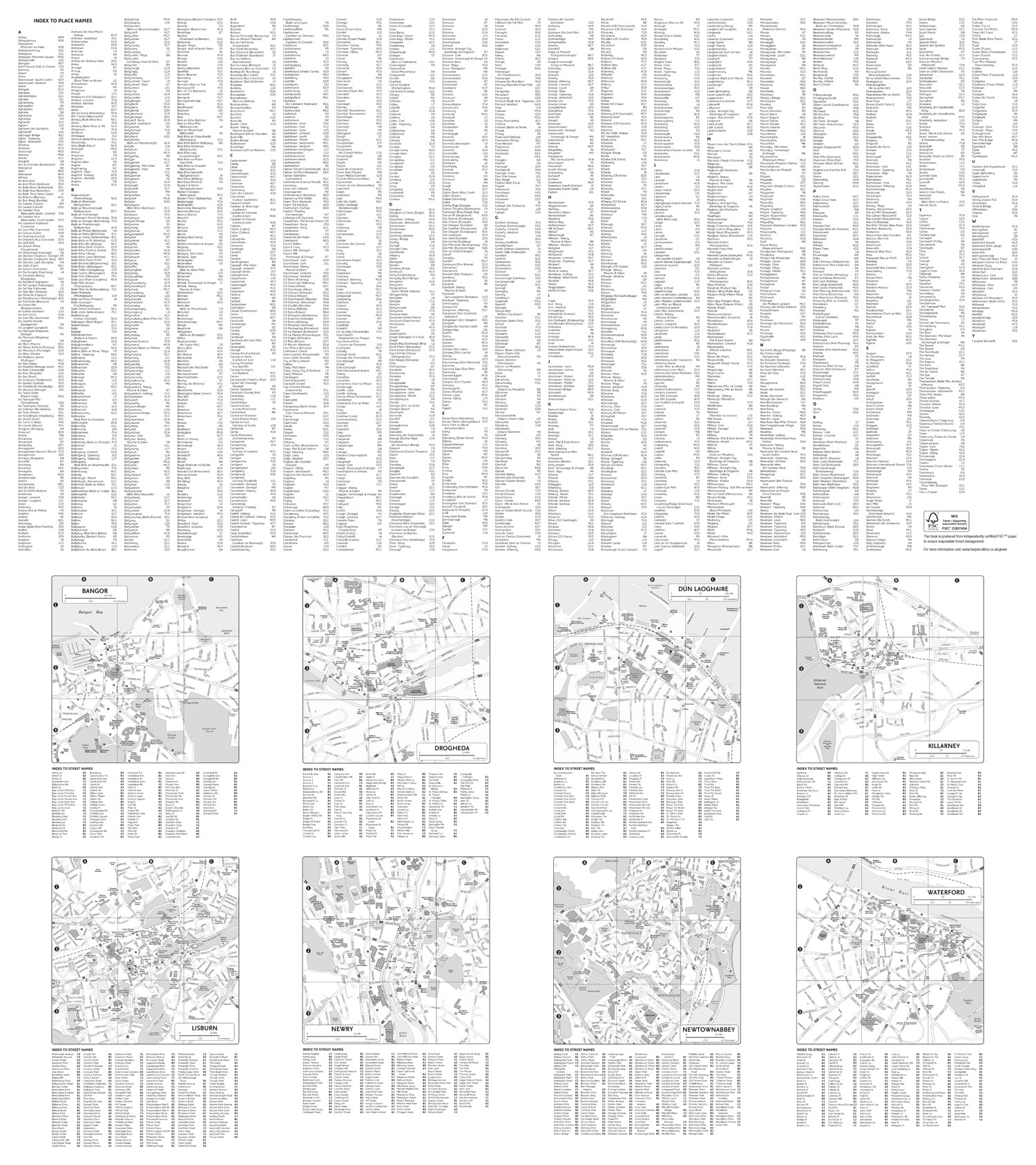
Discover new places with fully updated road atlases from Collins. Full-colour map of Ireland at 9 miles to 1 inch (1:570,240), with clear, detailed road network and counties and new administrative areas shown in colour. This double-sided map covers the whole of Ireland, and is ideal for reference or route planning.
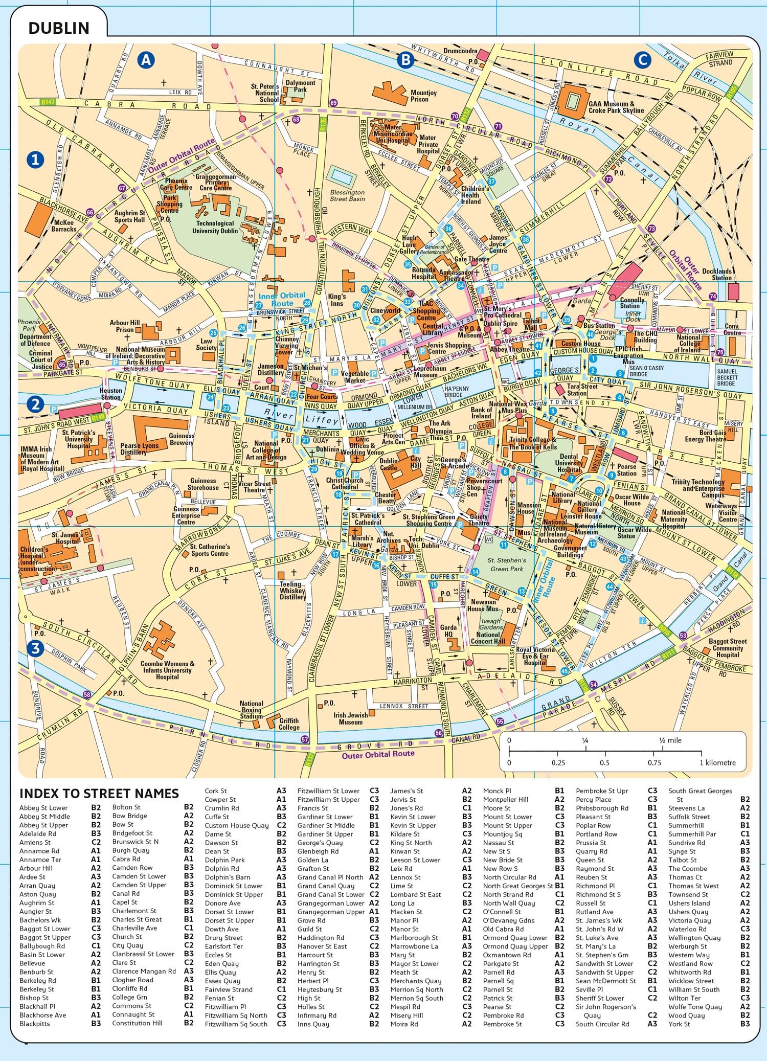
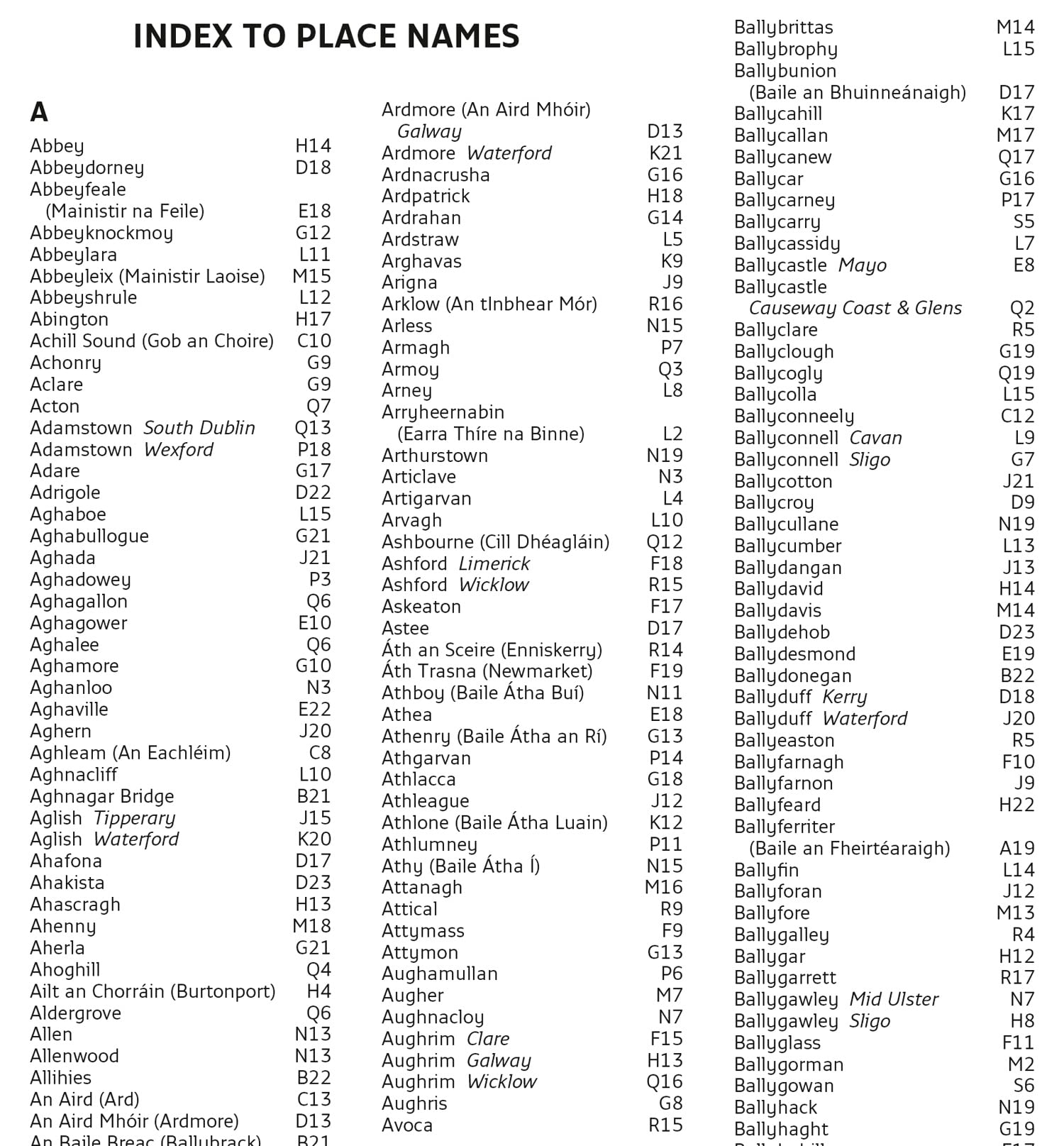
This map of Ireland shows the road network in detail. It is ideal for business users, with colouring of local council areas, but it is also perfect for tourists as a route planning map. Main features: Fully updatedNew administrative areas shown in colourClear, detailed road networkTown and city names, rivers, lakes, spot heights, railway lines and canals are clearly shownCity/town centre street plans of Belfast, Cork, Dublin, Dun Laoghaire, Galway, Limerick Londonderry/Derry and Waterford showing places of interestFull index to place namesMileage chartCar ferry routesKey in English, French and German Area of coverageCovers the whole of the Republic of Ireland and Northern Ireland
Reviews
Geen reviews gevonden voor dit product.
Schrijf een review
Graag horen wij wat u van dit artikel vindt. Vindt u het goed, leuk, mooi, slecht, lelijk, onbruikbaar of erg handig: schrijf gerust alles op! Het is niet alleen leuk om te doen maar u informeert andere klanten er ook nog mee!
Alle gerelateerde rubrieken >
Ook interessant voor europa/ierland
-

Reisgids Road Trips Galway & the Wes
€ 11,95Reisgidsen Ierland -

Campergids Mit dem Wohnmobil Irland
€ 22,50Campergidsen Ierland -

Reisverhaal Ierland - mijn Ierland |
€ 23,50Reisverhalen Ierland -

Fotoboek Irland | Tecklenborg
€ 37,95Fotoboeken Ierland -

Wegenkaart - landkaart Ierland | Rei
€ 13,95Wegenkaarten Ierland