Wegenatlas Scotland - Schotland | A-Z Map Company (9780008652845)
- ISBN / CODE: 9780008652845
- Editie: 2024
- Druk: 4
- Aantal blz.: 120
- Schaal: 1:221760
- Uitgever: A-Z Map Company
- Soort: Wegenatlas
- Serie: Regional Road Atlas
- Taal: Engels
- Hoogte: 24.5 cm
- Breedte: 17.5 cm
- Dikte: 0.5 cm
- Gewicht: 232.0 g
- Bindwijze: Paperback
- Uitvoering: -
- Beoordeling: 4,2 ★★★★★ (4 reviews) Schrijf een review
-
€ 13,50
Op voorraad. Binnen 2 - 3 werkdagen in huis in Belgie Levertijd Nederland
Beschrijving
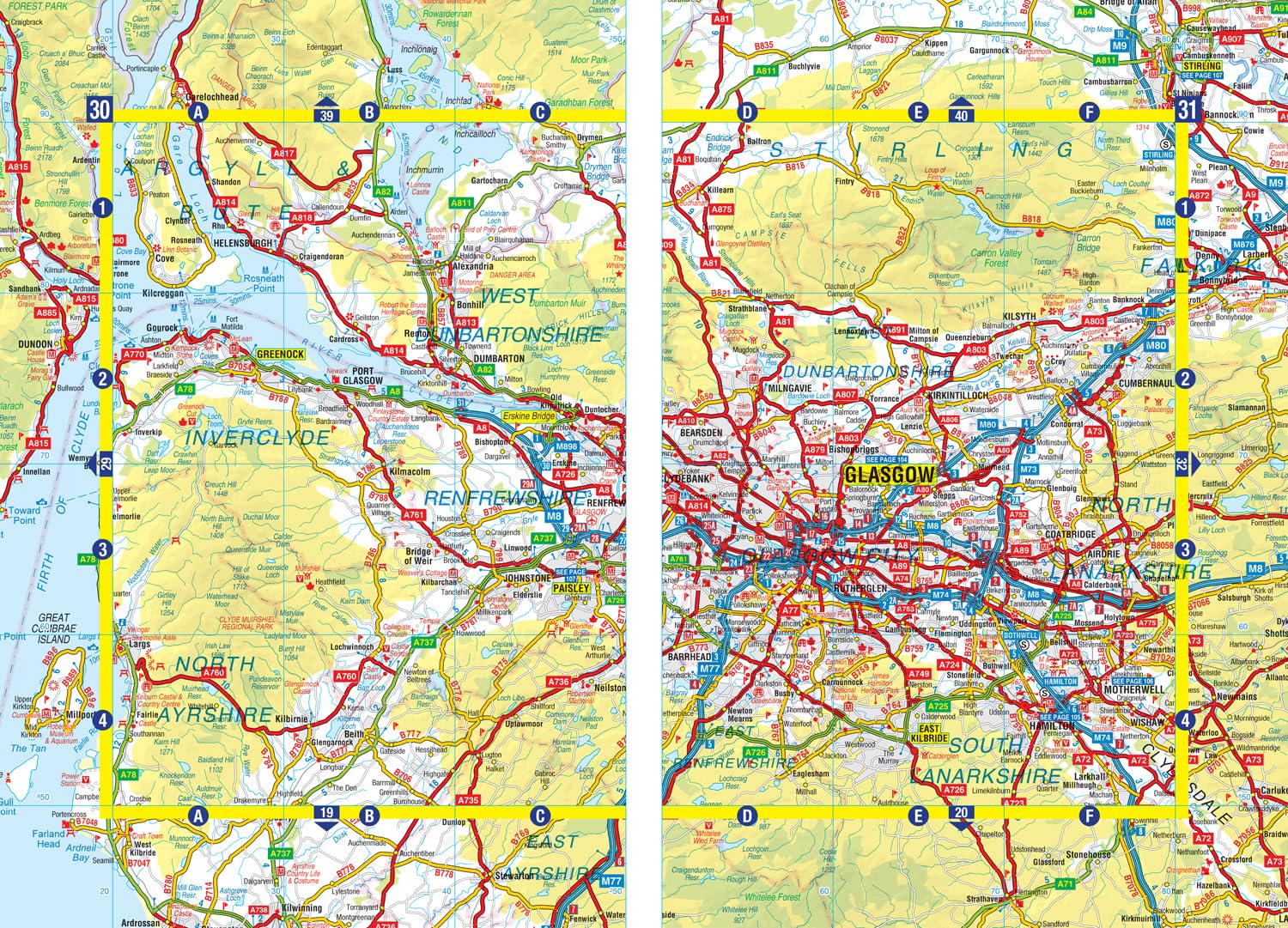
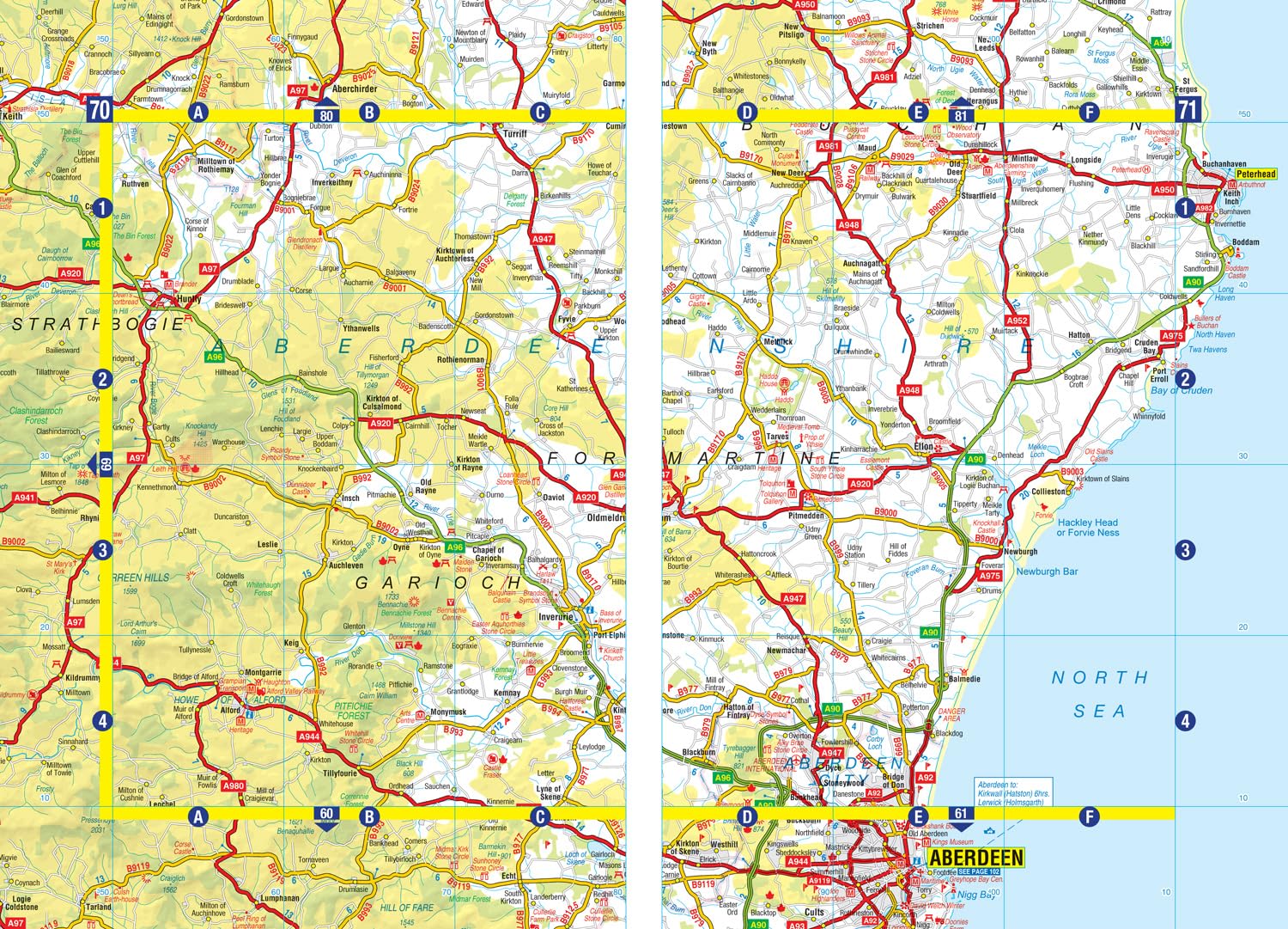
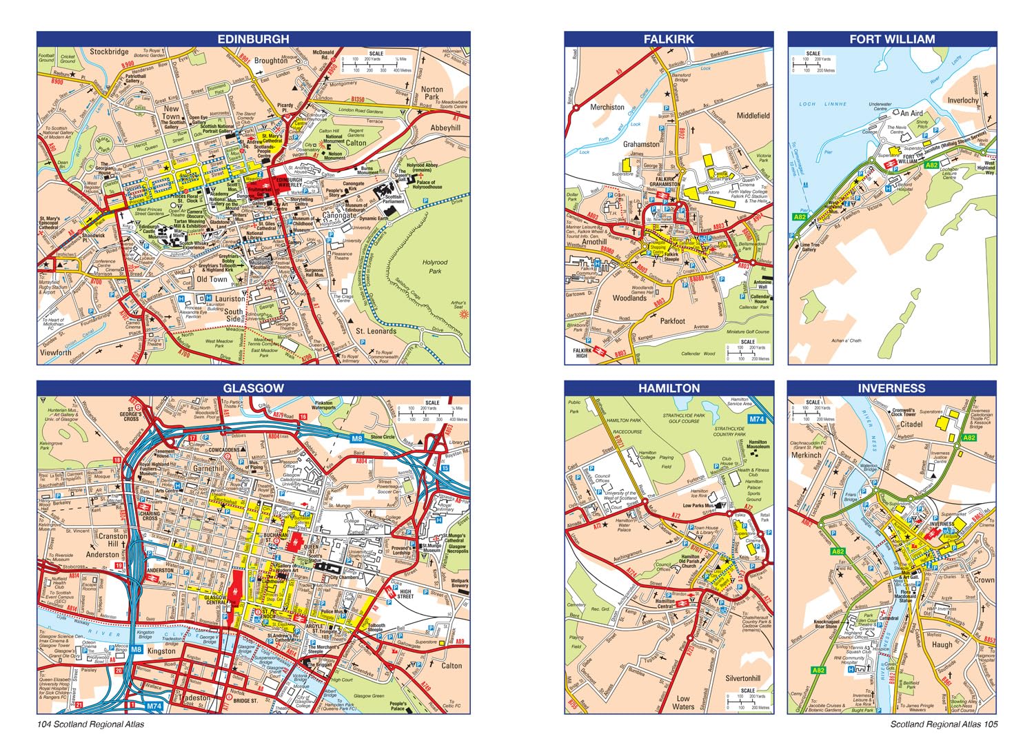
Handzame gedetailleerde wegenatlas van Schotland.
Reviews
Nadelen: Onhandige wegenatlas. Is een boekje op A5 formaat. Daardoor mis je een totaaloverzicht waardoor een langere route lastig te plannen is. Voordelen: recente wegenatlas (2018) met heel veel informatie.
★★★★★ door Eddy 30 mei 2018Vond u dit een nuttige review? (login om te beoordelen)
Toppie atlas!!!
★★★★★ door Gert van Engelenburg 14 mei 2018Vond u dit een nuttige review? (login om te beoordelen)
Helemaal top.
★★★★★ door Annelies Weizenbach 13 maart 2018Vond u dit een nuttige review? (login om te beoordelen)
Schrijf een review
Graag horen wij wat u van dit artikel vindt. Vindt u het goed, leuk, mooi, slecht, lelijk, onbruikbaar of erg handig: schrijf gerust alles op! Het is niet alleen leuk om te doen maar u informeert andere klanten er ook nog mee!
Ook interessant voor europa/schotland
-

Wegenkaart - landkaart Castles map o
€ 13,95Wegenkaarten Schotland -

Reisgids The Rough Guide to the 100
€ 34,95Reisgidsen Schotland -

Wandelgids The Campsies and the Kilp
€ 10,95Wandelgidsen Schotland -

Campergids 33 Mit dem Wohnmobil nach
€ 27,95Campergidsen Schotland -

Wandelkaart The Fife Coastal Path |
€ 17,95Wandelkaarten Schotland