Winkelwagen
Geen items in winkelwagen
Ga naar winkelwagen
MTN25
Nationale topografische kaarten van het Spaanse Cartografische Instituut van Spanje op een schaal van 1:25.000, die het resultaat zijn van het verdelen van elk vel van de MTN50 in vier kwarten.
Het gebied dat elk blad vertegenwoordigt, is 5 minuten breedtegraad bij 10 minuten lengtegraad. UTM-projectie. De gelijke afstand van de contourlijnen is 10 m.
Het overzicht van deze kaarten vindt u hier.
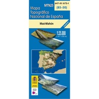 Topografische kaart 0647-III/673-I Maó-Mahón (Menorca) | CNIG - Instituto Geográfico Nacional
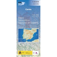 Topografische kaart 1-IV Cariño | CNIG - Instituto Geográfico Nacional
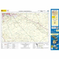 Topografische kaart 1003-I Gandul-Marchenilla | CNIG - Instituto Geográfico Nacional1
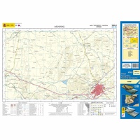 Topografische kaart 1003-II Arahal | CNIG - Instituto Geográfico Nacional1
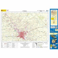 Topografische kaart 1003-III Utrera | CNIG - Instituto Geográfico Nacional1
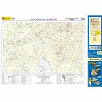 Topografische kaart 1003-IV San Jorge de Algarvejo | CNIG - Instituto Geográfico Nacional1
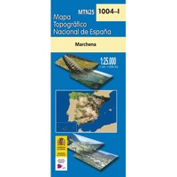 Topografische kaart 1004-I Marchena | CNIG - Instituto Geográfico Nacional1
 Topografische kaart 1004-II La Coronela | CNIG - Instituto Geográfico Nacional1
 Topografische kaart 1004-III Las Monjas | CNIG - Instituto Geográfico Nacional1
 Topografische kaart 1004-IV La Puebla de Cazalla | CNIG - Instituto Geográfico Nacional1
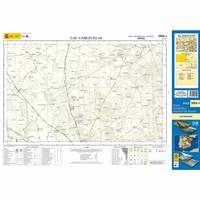 Topografische kaart 1005-I Las Cabezuelas | CNIG - Instituto Geográfico Nacional1
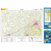 Topografische kaart 1005-II Estepa | CNIG - Instituto Geográfico Nacional1
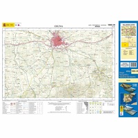 Topografische kaart 1005-III Osuna | CNIG - Instituto Geográfico Nacional1
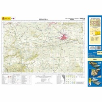 Topografische kaart 1005-IV Pedrera | CNIG - Instituto Geográfico Nacional1
 Topografische kaart 1007-I Rute | CNIG - Instituto Geográfico Nacional1
 Topografische kaart 1007-II Iznájar | CNIG - Instituto Geográfico Nacional1
 Topografische kaart 1007-III Villanueva de Algaidas | CNIG - Instituto Geográfico Nacional1
 Topografische kaart 1007-IV Villanueva de Tapia | CNIG - Instituto Geográfico Nacional1
 Topografische kaart 1008-I Algarinejo | CNIG - Instituto Geográfico Nacional1
 Topografische kaart 1008-II Montefrío | CNIG - Instituto Geográfico Nacional1
- 1
- 2
- 3
- Volgende >>
- 56
Laatste reviews

Ardeche
Goede , gebruiksvriendelijke en duidelijke beschrijvingen
★★★★★ door Raymond Muys 18 april 2025 | Heeft dit artikel gekocht
perfecte service bij het opzoeken en snelle levering
zoals boven vermeld
★★★★★ door N. Schulte 17 april 2025 | Heeft dit artikel gekocht
Leuk bedacht maar valt tegen
Leuk bedacht deze planner met goede tips. Echter de kaart zelf valt mij tegen qua topografie. Deze is niet super gedetailleerd helaas. Luchthavens bijv ontbreken …
★★★★★ door Marieke 17 april 2025 | Heeft dit artikel gekocht
Keurig netjes bestelling geleverd!
Interessante informatie over Ameland! Boekje helemaal gelezen!!!
★★★★★ door Yolanda Smit-van de Wetering 16 april 2025 | Heeft dit artikel gekocht