Harvey Maps
Superhandige wandelkaarten van Harvey Maps voor Engeland, Schotland & Wales
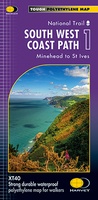 Wandelkaart 1 South West Coast Path 1 | Harvey Maps
Een bijzonder handige kaart voor een deel van dit lange-afstands-wandelpad (Minehead tot St Ives) van het in totaal maar liefst 1014 km lange South West Coast Path. Op waterafstotend papier met …
★★★★★★★★★★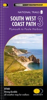 Wandelkaart 3 South West Coast Path 3 | Harvey Maps
Een bijzonder handige kaart voor een deel van dit lange-afstands-wandelpad (Minehead tot St Ives) van het in totaal maar liefst 1014 km lange South West Coast Path. Op waterafstotend papier …
★★★★★★★★★★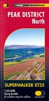 Wandelkaart Peak District Noord | Harvey Maps
New, Superwalker XT25 of the Peak District. Revised and re-designed It's got everything! Genuine original HARVEY mapping at 1:25,000. Ideal for walking. Clear, easy to read. Easy to re-fold. Opens …
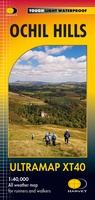 Wandelkaart Ochil Hills | Harvey Maps
Pocket perfect! Well known hills are Dumyat, Ben Cleuch and Castle Craig Hill. Magnificent views over the Forth Valley. Places of interest and enlargements of the steep and narrow glens: …
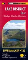 Wandelkaart Lake District East | Harvey Maps
 Wandelkaart Hadrian's Wall | Harvey Maps
Een bijzonder handige kaart van dit lange-afstands-wandelpad. Op waterafstotend papier met veel details. Het enige dat je eigenlijk een beetje mist is een overzicht. Verder uitstekend en voldoende voor de …
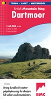
★★★★★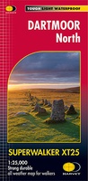 Wandelkaart Dartmoor Noord | Harvey Maps
The whole of Dartmoor on two Maps. Dartmoor's famous Tors including Haytor Rocks and Yes Tor. The format gives more mapping on the sheet without making the map heavy and …
 Wegenkaart - landkaart Serengeti, Masai Mara, Ngorogoro and Oldupai | Harvey Maps
Mooie kaart van een gedeelte van de Serengeti, Masai Mara, Ngorogoro en Oldupai met veel extra informatie. Offical map and visitor guide of Serengeti, Masai Mara, Ngorogoro and Oldupai Detailed …
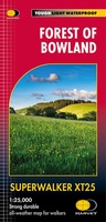 Wandelkaart Forest of Bowland XT25 | Harvey Maps
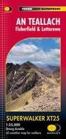 Wandelkaart An Teallach | Harvey Maps
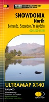 Wandelkaart Snowdonia Noord | Harvey Maps★★★★★
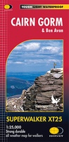 Wandelkaart Cairn Gorm | Harvey Maps
Includes 18 Munros of which 5 over 4000' (Cairn Gorm, Ben Macdui, Cairn Toul, Braeriach & Sgor an Loachain Uaine) and 3 Corbetts. Detailed map for hillwalkers of the …
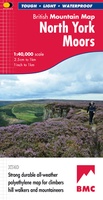 Wandelkaart North York Moors | Harvey Maps
"I’ve enjoyed and endured tough and challenging walks throughout the North York Moors, and this tough, durable, detailed map is the ideal companion and guide." Paddy Dillon, outdoor writer. …
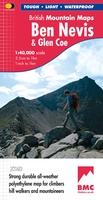 Wandelkaart Ben Nevis & Glen Coe | Harvey Maps
"This excellent Ben Nevis and Glen Coe map provides all the details needed for safe navigation on these iconic mountains". Cameron McNeish, outdoor writer and broadcaster. Detailed map for …
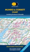 Wandelkaart Munro and Corbett Chart | Harvey Maps
Alle Munro's en Corbetts op 1 kaart! First published in 1996 this current edition of our best selling chart used for monitoring and recording your progress in completing the Munros …
 Wandelkaart Dartmoor | Harvey Maps
"This inspiring new map will help walkers and climbers explore Dartmoor's wild granite landscapes, and, like the granite, is virtually indestructible." Sir Ranulph Fiennes, adventurer and explorer. Dartmoor, the …
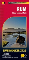 Wandelkaart Rum, Eigg, Canna, Muck | Harvey Maps
More than "just" a map, this map is an essential piece of equipment, this new generation of HARVEY Superwalkers is designed to be the most practical tool for navigation outdoors. …
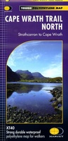 Wandelkaart Cape Wrath Trail North | Harvey Maps
Een bijzonder handige kaart van dit lange-afstands-wandelpad. Op waterafstotend papier met veel details. Het enige dat je eigenlijk een beetje mist is een overzicht. Verder uitstekend en voldoende voor de …
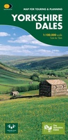 Fietskaart Yorkshire Dales Touring / Nidderdale Area of NB | Harvey Maps
This map provides a colourful overview of the Dales - famous Swaledale, Wensleydale, Wharfedale & Nidderdale. Colour shading makes it easy to pick out the hills & dales. Driveable roads …
 Fietskaart Cycle Rides in the Yorkshire Dales | Harvey Maps
8 cycle rides in the Yorkshire Dales varying in length from 11 to 23 miles. Includes detailed maps plus written route directions. Information on local points of interest and …
- 1
- 2
- 3
- Volgende >>
- 9
Laatste reviews

Leuk bedacht deze planner met goede tips. Echter de kaart zelf valt mij tegen qua topografie. Deze is niet super gedetailleerd helaas. Luchthavens bijv ontbreken …
★★★★★ door Marieke 17 april 2025 | Heeft dit artikel gekocht
Interessante informatie over Ameland! Boekje helemaal gelezen!!!
★★★★★ door Yolanda Smit-van de Wetering 16 april 2025 | Heeft dit artikel gekocht
Netjes geleverd deze geplastificeerde landkaart van Nederland, bruikbaarheid is enorm. Blijer wordt ik niet.
★★★★★ door Fred 16 april 2025 | Heeft dit artikel gekocht
Handig boekje, ik hoop, dat ik er veel vogels van ga herkennen als ik in Nova Scotia ben
★★★★★ door Renee 16 april 2025 | Heeft dit artikel gekocht