Winkelwagen
Geen items in winkelwagen
Ga naar winkelwagen
Topografische kaarten - Puy-de-Dôme
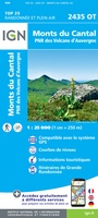 Wandelkaart - Topografische kaart 2435OT Monts du Cantal | IGN - Institut Géographique National★★★★★
 Wandelkaart - Topografische kaart 2534OT Monts du Cezallier, Condat, Allanche, Parc Volcans d'Auvergne | IGN - Institut Géographique National
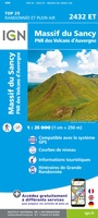 Wandelkaart - Topografische kaart 2432ET Massif du Sancy | IGN - Institut Géographique National★★★★★
 Wandelkaart - Topografische kaart 2531ET Chaîne des Puys | IGN - Institut Géographique National
 Wandelkaart - Topografische kaart 2630 SB - Serie Bleue Maringues | IGN - Institut Géographique National
 Wandelkaart - Topografische kaart 2429 SB - Serie Bleue Saint-Éloy-les-Mines | IGN - Institut Géographique National
 Wandelkaart - Topografische kaart 2430 SB - Serie Bleue Saint-Gervais d'Auvergne | IGN - Institut Géographique National
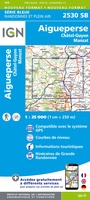 Wandelkaart - Topografische kaart 2530 SB - Serie Bleue Aigueperse, Châtel-Guyon, Manzat | IGN - Institut Géographique National
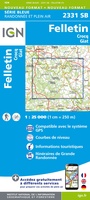 Wandelkaart - Topografische kaart 2331 SB - Serie Bleue Felletin | IGN - Institut Géographique National
 Wandelkaart - Topografische kaart 2431 SB - Serie Bleue Pontaumur | IGN - Institut Géographique National
 Wandelkaart - Topografische kaart 2531 SB - Serie Bleue Clermont-Ferrand | IGN - Institut Géographique National
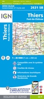 Wandelkaart - Topografische kaart 2631 SB - Serie Bleue Thiers | IGN - Institut Géographique National
 Wandelkaart - Topografische kaart 2532 SB - Serie Bleue Veyre-Monton, Issoire | IGN - Institut Géographique National
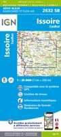 Wandelkaart - Topografische kaart 2632 SB - Serie Bleue Issoire | IGN - Institut Géographique National
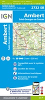 Wandelkaart - Topografische kaart 2732 SB - Serie Bleue Ambert | IGN - Institut Géographique National
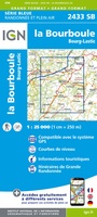 Topografische kaart - Wandelkaart 2433 SB - Serie Bleue la Bourboule | IGN - Institut Géographique National
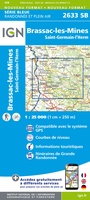 Wandelkaart - Topografische kaart 2633 SB - Serie Bleue St-Germain-l'Herm, Brassac-les-Mines | IGN - Institut Géographique National
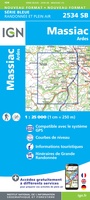 Wandelkaart - Topografische kaart 2534 SB - Serie Bleue Massiac - Ardes | IGN - Institut Géographique National
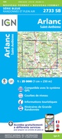 Wandelkaart - Topografische kaart 2733 SB - Serie Bleue St-Anthème, Arlanc | IGN - Institut Géographique National
Laatste reviews

Handige gids met vele bruikbare tips
Ter voorbereiding op onze trip naar Chalkidiki heb ik al de nodige tips en suggesties genoteerd. Daarnaast heb ik ook m'n Duits weer kunnen ophalen...
★★★★★ door HFJ Driessen 23 april 2025 | Heeft dit artikel gekocht
Snel bezorgd en ziet er heel gaaf uit!
De ervaring moeten we nog beleven, eind mei starten we vanuit Deventer met de ronde. We hebben er zin in 😊
★★★★★ door Truus 23 april 2025 | Heeft dit artikel gekocht
Handige kaart voor dit gebied
Fijne kaart van een prachtige omgeving. De wandelingen staan er duidelijk op en zijn makkelijk te volgen via de bordjes.
★★★★★ door Paulien Franken 23 april 2025 | Heeft dit artikel gekocht
Een mooie overzichtskaart, maar niet geschikt voor detailnavigatie
Deze kaart geeft een goed overzicht van de regio en de beschikbare fietsfaciliteiten en routes van het National Cycle Network. Voor gedetaileerde routeplanning en navigatie …
★★★★★ door EJ 23 april 2025 | Heeft dit artikel gekocht