Winkelwagen
Geen items in winkelwagen
Ga naar winkelwagen
Topografische kaarten - Île-de-France
 Wandelkaart - Topografische kaart 2417OT Forêt de Fontainebleau | IGN - Institut Géographique National★★★★★
 Wandelkaart - Topografische kaart 2414ET Marne-la-Vallée - Forêts: Crécy - Armainvilliers - Ferrières, Centre | IGN - Institut Géographique National
 Wandelkaart - Topografische kaart 2413OT Dammartin-en-Goële, Centre | IGN - Institut Géographique National
 Wandelkaart - Topografische kaart 2313OT Forêts de Montmorency de l'Isle-Adam et de Carnelle | IGN - Institut Géographique National
 Wandelkaart - Topografische kaart 2214ET Versailles, Forêts de Marly et de St-Germain | IGN - Institut Géographique National
 Wandelkaart - Topografische kaart 2315OT Palaiseau - Arpajon, Forêt de Verrières | IGN - Institut Géographique National
 Wandelkaart - Topografische kaart 2216ET Etampes, Dourdan | IGN - Institut Géographique National
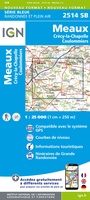 Wandelkaart - Topografische kaart 2514 SB - Serie Bleue Meaux | IGN - Institut Géographique National
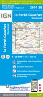 Wandelkaart - Topografische kaart 2614 SB - Serie Bleue La Ferté-Gaucher, Montmirail | IGN - Institut Géographique National
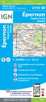 Wandelkaart - Topografische kaart 2115 SB - Serie Bleue Epernon | IGN - Institut Géographique National
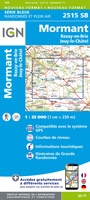 Wandelkaart - Topografische kaart 2515 SB - Serie Bleue Mormant, Rozay-en-Brie, Jouy-le-Châtel | IGN - Institut Géographique National
 Wandelkaart - Topografische kaart 2416 SB - Serie Bleue Melun, Mormant | IGN - Institut Géographique National
 Wandelkaart - Topografische kaart 2516 SB - Serie Bleue Donnemarie-Dontilly, Nangis | IGN - Institut Géographique National
 Wandelkaart - Topografische kaart 2217 SB - Serie Bleue Méréville - Sainville | IGN - Institut Géographique National
 Wandelkaart - Topografische kaart 2517 SB - Serie Bleue Montereau-Fault-Yonne, Moret-Loing-et-Orvanne | IGN - Institut Géographique National
 Wandelkaart - Topografische kaart 2418 SB - Serie Bleue Château-Landon, Corbeilles | IGN - Institut Géographique National
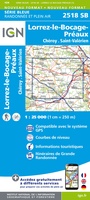 Wandelkaart - Topografische kaart 2518 SB - Serie Bleue Lorrez-le-Bocage-Préaux, Chéroy, St-Valérien | IGN - Institut Géographique National
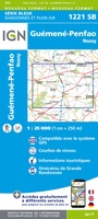 Wandelkaart - Topografische kaart 1221 SB - Serie Bleue Guémené – Penfao – Nozay | IGN - Institut Géographique National
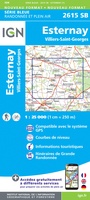 Wandelkaart - Topografische kaart 2615 SB - Serie Bleue Esternay, Villiers-St-Georges | IGN - Institut Géographique National
 Wandelkaart - Topografische kaart 2114 SB - Serie Bleue Houdan - Aubergenville | IGN - Institut Géographique National
Laatste reviews

Mooie kaart voor ritplanning. Tocht moet nog komen.
Als voorbereiding op fietstocht gekocht. Route is deels ingekleurd en dat is erg fijn. Hoe de kaart werkt 'in het wild' moet nog blijken.
★★★★★ door Nico 15 september 2025 | Heeft dit artikel gekocht
Goed voor fietsroutes, onduidelijk voor overige wegen
Voor fietsroutes (LF e.d.) is het 'n prima kaart, wil je op andere wegen fietsen dan geeft de kaart te weinig informatie over deze wegen …
★★★★★ door Leon 15 september 2025 | Heeft dit artikel gekocht
Hele handige kaart met veel wndelroutes
De kaart is handig bruikbaar. Er staan veel gemarkeerde routes op maar je kunt ook makkelijk een eigen route volgen mbv de gedetailleerd aangegeven wandelpaden
★★★★★ door Marianne 13 september 2025 | Heeft dit artikel gekocht
Zoals verwacht, goed
Handige reisgids, ook als gps uitvalt
★★★★★ door A.C. Verkuijlen 12 september 2025 | Heeft dit artikel gekocht