Winkelwagen
Geen items in winkelwagen
Ga naar winkelwagen
Topografische kaarten - Alpen - Mont Blanc - Haute Savoie
Overzichtskaarten
-
Topografische kaarten IGN 25.000 Haute Savoie - Mont Blanc
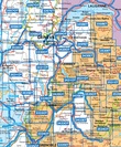
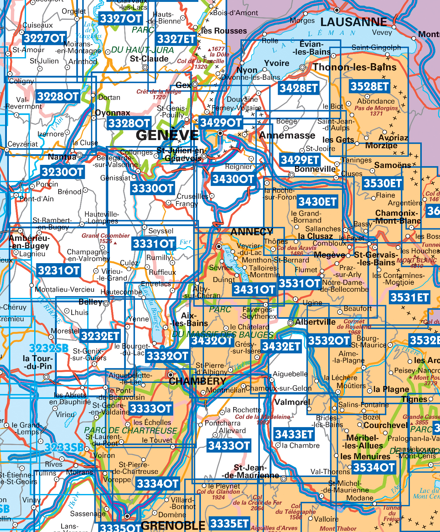
Producten op deze overzichtskaart:
Klik op een product om naar de pagina van dat product te gaan.
- Wandelkaart - Topografische kaart 3230OT Nantua - Hauteville-Lompnes - Nord Bugey | IGN - Institut Géographique National
- Wandelkaart - Topografische kaart 3231OT Ambérieu-en-Bugey | IGN - Institut Géographique National
- Wandelkaart - Topografische kaart 3232 SB - Serie Bleue la Tour-du-Pin | IGN - Institut Géographique National
- Wandelkaart - Topografische kaart 3330OT Bellegarde-sur-Valserine | IGN - Institut Géographique National
- Wandelkaart - Topografische kaart 3332OT Chambéry - Aix-les-Bains | IGN - Institut Géographique National
- Wandelkaart - Topografische kaart 3428ET Thonon les Bains - Évian les Bains | IGN - Institut Géographique National
- Wandelkaart - Topografische kaart 3429ET Bonneville | IGN - Institut Géographique National
- Wandelkaart - Topografische kaart 3429OT Geneve | IGN - Institut Géographique National
- Wandelkaart - Topografische kaart 3430ET La Clusaz - le Grand-Bornand | IGN - Institut Géographique National
- Wandelkaart - Topografische kaart 3430OT Mont Salève | IGN - Institut Géographique National
- Wandelkaart - Topografische kaart 3431OT Lac d'Annecy | IGN - Institut Géographique National
- Wandelkaart - Topografische kaart 3432ET Albertville | IGN - Institut Géographique National
- Wandelkaart - Topografische kaart 3432OT Massif des Bauges | IGN - Institut Géographique National
- Wandelkaart - Topografische kaart 3432OTR Massif des Bauges | IGN - Institut Géographique National
- Wandelkaart - Topografische kaart 3528ET Morzine | IGN - Institut Géographique National
- Wandelkaart - Topografische kaart 3528ETR Morzine | IGN - Institut Géographique National
- Wandelkaart - Topografische kaart 3530ET Samoëns | IGN - Institut Géographique National
- Wandelkaart - Topografische kaart 3531ET Saint-Gervais-les-Bains | IGN - Institut Géographique National
- Wandelkaart - Topografische kaart 3531OT Megève | IGN - Institut Géographique National
- Wandelkaart - Topografische kaart 3532OT Massif du Beaufortain | IGN - Institut Géographique National
- Wandelkaart - Topografische kaart 3630OT Chamonix-Mont-Blanc | IGN - Institut Géographique National
 Wandelkaart - Topografische kaart 3428ET Thonon les Bains - Évian les Bains | IGN - Institut Géographique National
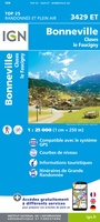 Wandelkaart - Topografische kaart 3429ET Bonneville | IGN - Institut Géographique National
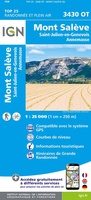 Wandelkaart - Topografische kaart 3430OT Mont Salève | IGN - Institut Géographique National
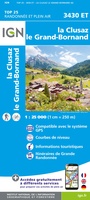 Wandelkaart - Topografische kaart 3430ET La Clusaz - le Grand-Bornand | IGN - Institut Géographique National★★★★★
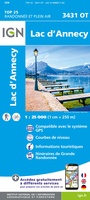 Wandelkaart - Topografische kaart 3431OT Lac d'Annecy | IGN - Institut Géographique National★★★★★
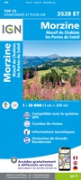 Wandelkaart - Topografische kaart 3528ET Morzine | IGN - Institut Géographique National★★★★★
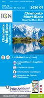 Wandelkaart - Topografische kaart 3630OT Chamonix-Mont-Blanc | IGN - Institut Géographique National★★★★★★★★★★
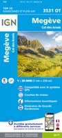 Wandelkaart - Topografische kaart 3531OT Megève | IGN - Institut Géographique National★★★★★
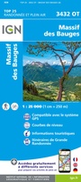 Wandelkaart - Topografische kaart 3432OT Massif des Bauges | IGN - Institut Géographique National
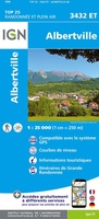 Wandelkaart - Topografische kaart 3432ET Albertville | IGN - Institut Géographique National
 Wandelkaart - Topografische kaart 3433OT Allevard | IGN - Institut Géographique National
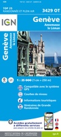 Wandelkaart - Topografische kaart 3429OT Geneve | IGN - Institut Géographique National
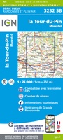 Wandelkaart - Topografische kaart 3232 SB - Serie Bleue la Tour-du-Pin | IGN - Institut Géographique National
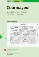 Wandelkaart - Topografische kaart 292 Courmayeur | Swisstopo
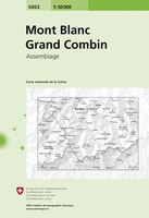 Wandelkaart - Topografische kaart 5003 Mont Blanc Grand Combin | Swisstopo
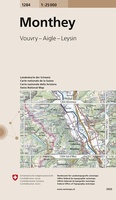 Wandelkaart - Topografische kaart 1284 Monthey | Swisstopo
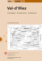 Wandelkaart - Topografische kaart 1304 Val-d'Illiez, Morgins | Swisstopo
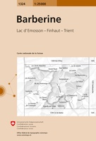 Wandelkaart - Topografische kaart 1324 Barberine | Swisstopo
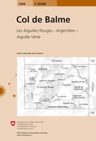 Wandelkaart - Topografische kaart 1344 Col de Balme | Swisstopo
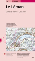 Fietskaart - Topografische kaart - Wegenkaart - landkaart 40 Le Léman | Swisstopo
Laatste reviews

Zeer tevreden
Zowel over de prachtige collectie wandelgidsen-boeken en-kaarten als de afhandeling van mijn bestellingen ben ik zeer tevreden.
★★★★★ door Anja van Kooten Niekerk 15 april 2025 | Heeft dit artikel gekocht
Zeer tevreden
Zowel over de prachtige collectie wandelgidsen-boeken en-kaarten als de afhandeling van mijn bestellingen ben ik zeer tevreden.
★★★★★ door Anja van Kooten `Niekerk 15 april 2025 | Heeft dit artikel gekocht
Goed naslagwerk voor op reis
Ik kende van deze uitgever al andere reisgidsen. Daarom deze gekozen. Maar wel jammer dat ie niet in het NederlNDS IS, LEEST TOCH MAKKELIJKER
★★★★★ door Maarten 15 april 2025 | Heeft dit artikel gekocht
Mooie detaillering van de binnen wegen
Deze schaal heeft altijd mijn voorkeur omdat je heel goed een route over binnenwegen kunt uitstippelen
★★★★★ door Maarten 15 april 2025 | Heeft dit artikel gekocht