Winkelwagen
Geen items in winkelwagen
Ga naar winkelwagen
Vogezen - Elzas - Lotharingen
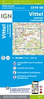 Topografische kaart - Wandelkaart 3318 SB - Serie Bleue Vittel | IGN - Institut Géographique National
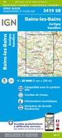 Wandelkaart - Topografische kaart 3419 Bains-les-Bains | IGN - Institut Géographique National
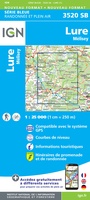 Wandelkaart - Topografische kaart 3520 SB - Serie Bleue Mélisey - Lure | IGN - Institut Géographique National
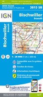 Wandelkaart - Topografische kaart 3815 SB - Serie Bleue Bischwiller - Brumath | IGN - Institut Géographique National
 Wandelkaart - Topografische kaart 3816OT Strasbourg | IGN - Institut Géographique National★★★★★
 Wandelkaart - Topografische kaart 3817 SB - Serie Bleue Sélestat - Marckolsheim | IGN - Institut Géographique National
 Wandelkaart - Topografische kaart 3719 SB - Serie Bleue Colmar | IGN - Institut Géographique National
 Wandelkaart - Topografische kaart 3617OT St-Dié-des-Vosges | IGN - Institut Géographique National
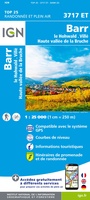 Wandelkaart - Topografische kaart 3717ET Barr - Le Howald - Villé - Vallée de la Bruche | IGN - Institut Géographique National★★★★★
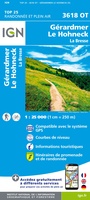 Wandelkaart - Topografische kaart 3618OT Le Hohneck - Gérardmer | IGN - Institut Géographique National★★★★★★★★★★
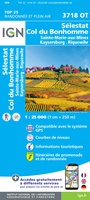 Wandelkaart - Topografische kaart 3718OT Selestat - Col Du Bonhomme | IGN - Institut Géographique National★★★★★
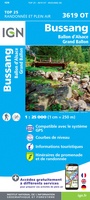 Wandelkaart - Topografische kaart 3619OT Bussang - La Bresse | IGN - Institut Géographique National★★★★★★★★★★
 Wandelkaart - Topografische kaart 3719OT Colmar & Le Hohneck | IGN - Institut Géographique National★★★★★★★★★★
 Wandelkaart - Topografische kaart 3520ET Ballon d'Alsace | IGN - Institut Géographique National★★★★★★★★★★
 Wandelkaart - Topografische kaart 3620ET Grand Ballon | IGN - Institut Géographique National★★★★★
 Wandelkaart - Topografische kaart 3720ET Mulhouse | IGN - Institut Géographique National
 Wandelkaart - Topografische kaart 3621OT Belfort - Montbeliard | IGN - Institut Géographique National
 Wandelkaart - Topografische kaart 3621ET Dannemarie - Delle - Sundgau | IGN - Institut Géographique National
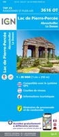 Wandelkaart - Topografische kaart 3616OT Lac de Pierre-Percée - Le Donon | IGN - Institut Géographique National★★★★★
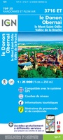 Wandelkaart - Topografische kaart 3716ET le Donon, Obernai, Mont Ste-Odile | IGN - Institut Géographique National★★★★★
Laatste reviews

super blij mee
Hele mooie kaarten, met veel details, alles wat ik maar wil, staat er op. Mooie kwaliteit en ontzettend snelle service. Met zulke mooie kaarten kan …
★★★★★ door SachaTrimbos 08 april 2025 | Heeft dit artikel gekocht
super blij mee
Hele mooie kaarten, met veel details, alles wat ik maar wil, staat er op. Mooie kwaliteit en ontzettend snelle service. Met zulke mooie kaarten kan …
★★★★★ door SachaTrimbos 08 april 2025 | Heeft dit artikel gekocht
Bijzonder handzame kaart.
Stevige geplastificeerde kaart. Duidelijk, overzichtelijk en makkelijk terug te vouwen.
★★★★★ door Diebje 08 april 2025 | Heeft dit artikel gekocht
Hele overzichtelijke kaart.
Stevige geplastificeerde kaart. Duidelijk, overzichtelijk en makkelijk terug te vouwen.
★★★★★ door Diebje 08 april 2025 | Heeft dit artikel gekocht