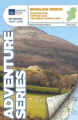
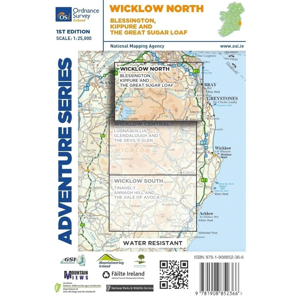
Wandelkaart Adventure Series Wicklow North | Ordnance Survey Ireland (9781908852366)
Blessington, Kippure and the Great Sugar Loaf
- ISBN / CODE: 9781908852366
- Editie: 12-11-2018
- Aantal blz.: 1
- Schaal: 1:25000
- Uitgever: Ordnance Survey Ireland
- Soort: Wandelkaart
- Serie: Adventure Series
- Taal: Engels
- Hoogte: 17.0 cm
- Breedte: 12.0 cm
- Gewicht: 72.0 g
- Uitvoering: Scheur- en watervast
- Bindwijze: -
- Schrijf als eerste een review
-
€ 31,95
Leverbaar in 3 - 5 werkdagen in huis in Nederland Levertijd Belgie
Gratis verzending in Nederland vanaf €35,-
Beschrijving
Van de uitgever
This map is situated in south County Dublin, a small portion of County Kildare and north County Wicklow.
A section of the southern end of the M50 is shown along with the M11/ N11. The N81 from Dublin to Blessington also features.
Wicklow North adventure map covers the key towns of Blessington and Bray. Among the villages shown are Enniskerry and Newtownmountkennedy and Ballyknockan.
Numerous mountains are shown including Mullaghcleevaun, Kippure, Djouce, Seefingan, Duff Hill, Gravale, Moanbane, War Hill, Carrigvore, Luggala or Fancy Mountain and the Great Sugar Loaf.
The River Liffey rises between Kippure and Tonduff and flows through the Pollaphuca Reservoir.The source of the Dargle River is between Tonduff North and War Hill. Other rivers shown are the Dodder River, the Vartry River, the Dargle River and the Glencree River. A feature of this map is the numerous brooks and among them are Slade Brook and Col Brook between Seefin Mountain and Kippure. Dealbog Brook, Boleyhemushboy Brook and Lugaculleen Brook are in the foothills of Mullaghcleevaun Mountain near Pollaphuca Reservoir.
Lough Bray Lower, Lough Bray Upper, Lough Tay, and the larger part of Pollaphuca reservoir and Glenasmole Reservoirs feature on the map. The Sally Gap features on this map along with part of Wicklow National Park.
The start of the Wicklow Way is shown on the map and also the start of Dublin Mountains Way.
Features of the area include a number of circular walks and routes and trails including Forest Loop,Hell Fire Wood, Massey’s Estate Nature Trail, Tibradden Trail, Tiknock Mountain Bike Trail, Barnasligan Trails, Lead Mines Way, Oak Glenn Loop Trail, Maulin Trail, Deerpark Trail, Kindlestown Trail, Ballinastoe Mountain Bike Trail, Slievethoul Lugg Loop and Saggart Hill Loop, and Blessington Greenway.
Two Discovery maps 1:50,000 also cover this area with sheet 50 covering a small section of the northern part of the map and sheet 56 covering the midsection and the southern part.
Reviews
Geen reviews gevonden voor dit product.
Schrijf een review
Graag horen wij wat u van dit artikel vindt. Vindt u het goed, leuk, mooi, slecht, lelijk, onbruikbaar of erg handig: schrijf gerust alles op! Het is niet alleen leuk om te doen maar u informeert andere klanten er ook nog mee!
Ook interessant voor europa/ierland/wicklow
-

Topografische kaart - Wandelkaart 55
€ 19,50Topografische kaarten Wicklow - Oost Ierland -
 | Ordnance Survey Ireland")
Wegenkaart - landkaart Ireland East
€ 19,50Wegenkaarten Wicklow - Oost Ierland -

Wandelgids Dublin & Wicklow | The Co
€ 22,50Wandelgidsen Wicklow - Oost Ierland -

Wandelgids Wicklow Way | Rucksack Re
€ 19,95Wandelgidsen Wicklow - Oost Ierland -

Fietsgids Cycling South Dublin & Wic
€ 22,50Fietsgidsen Wicklow - Oost Ierland