Kaarten - Lowlands | Schotse Laaglanden en grenzen
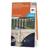 Wandelkaart - Topografische kaart 338 OS Explorer Map Galashiels, Selkirk, Melrose | Ordnance Survey
Met zijn 4cm voor 1 km (2 ½ cm voor 1 mijl) schaal, is de OS Explorer kaartenserie de ideale en meest gedetailleerde kaartenreeks voor mensen die graag outdoor-activiteiten zoals …
★★★★★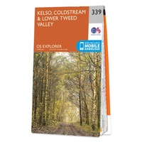 Wandelkaart - Topografische kaart 339 OS Explorer Map Kelso, Coldstream, Lower Tweed Valley | Ordnance Survey
Met zijn 4cm voor 1 km (2 ½ cm voor 1 mijl) schaal, is de OS Explorer kaartenserie de ideale en meest gedetailleerde kaartenreeks voor mensen die graag outdoor-activiteiten zoals …
★★★★★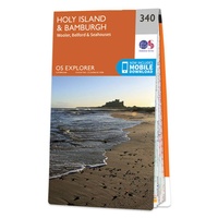 Wandelkaart - Topografische kaart 340 OS Explorer Map Holy Island, Bamburgh | Ordnance Survey
Met zijn 4cm voor 1 km (2 ½ cm voor 1 mijl) schaal, is de OS Explorer kaartenserie de ideale en meest gedetailleerde kaartenreeks voor mensen die graag outdoor-activiteiten zoals …
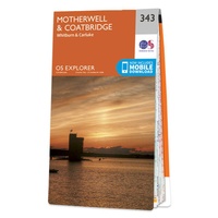 Wandelkaart - Topografische kaart 343 OS Explorer Map Motherwell, Coatbridge | Ordnance Survey
Met zijn 4cm voor 1 km (2 ½ cm voor 1 mijl) schaal, is de OS Explorer kaartenserie de ideale en meest gedetailleerde kaartenreeks voor mensen die graag outdoor-activiteiten zoals …
 Wandelkaart - Topografische kaart 344 OS Explorer Map Pentland Hills | Ordnance Survey
Met zijn 4cm voor 1 km (2 ½ cm voor 1 mijl) schaal, is de OS Explorer kaartenserie de ideale en meest gedetailleerde kaartenreeks voor mensen die graag outdoor-activiteiten zoals …
★★★★★ Wandelkaart - Topografische kaart 345 OS Explorer Map Lammermuir Hills | Ordnance Survey
Met zijn 4cm voor 1 km (2 ½ cm voor 1 mijl) schaal, is de OS Explorer kaartenserie de ideale en meest gedetailleerde kaartenreeks voor mensen die graag outdoor-activiteiten zoals …
 Wandelkaart - Topografische kaart 346 OS Explorer Map Berwick-upon-Tweed | Ordnance Survey
Met zijn 4cm voor 1 km (2 ½ cm voor 1 mijl) schaal, is de OS Explorer kaartenserie de ideale en meest gedetailleerde kaartenreeks voor mensen die graag outdoor-activiteiten zoals …
 Wandelkaart Southern Upland Way | Harvey Maps
Southern Upland Way is Britain's first official coast to coast long distance footpath and is one of Scotland's Great Trails. It runs 340km (212 miles) from Portpatrick on the south …
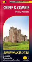 Wandelkaart Crieff & Comrie, Doune, Dunblane | Harvey Maps
Map covers the Munro, Ben Chonzie, popular Glen Artney, as well as the Braes of Doune and Doune Castle, which has featured in various film and television shows, such as …
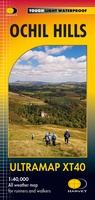
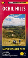 Wandelkaart Ochil Hills | Harvey Maps
Superwalker is designed to be the most practical tool for navigation outdoors. The format gives more mapping on the sheet without making the map heavy and bulky. The fold has …
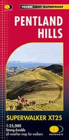 Wandelkaart Pentland Hills | Harvey Maps
The whole of the Pentlands on one side of one sheet. More than a map, an essential piece of equipment this new generation HARVEY Superwalker is designed to be the …
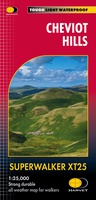 Wandelkaart Cheviot Hills | Harvey Maps
Includes the Cheviot, Newton Tors and Kirknewton. Detailed map for hillwalkers and cyclists of the Cheviot Hills at 1:25,000 scale. Includes the northern section of the Pennine Way from Brownhart …
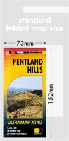 Wandelkaart Pentland Hills | Harvey Maps
Covers a large area yet is handily compact. Pocket perfect!Detailed map for runners and walkers of the whole of the Pentlands at the magic scale of 1:40,000 on one side …
 Wandelkaart Ochil Hills | Harvey Maps
Pocket perfect! Well known hills are Dumyat, Ben Cleuch and Castle Craig Hill. Magnificent views over the Forth Valley. Places of interest and enlargements of the steep and narrow glens: …
 Wandelkaart Arran | Harvey Maps
Covers a large area yet is handily compact. Pocket perfect! Features the renowned Goat Fell, A'Chir ridge, Beinn Bharrain, Glen Sannox & Glen Rosa. Detailed map for runners …
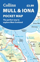 Wegenkaart - landkaart Pocket Map Mull and Iona | Collins
Explore new places with handy pocket maps from Collins. Handy little full colour map showing the islands of Mull and Iona. Excellent value and very detailed for its size. …
 Wegenkaart - landkaart 3 Nicolson Road 3, South Scotland : Southern Scotland & Northumberland | Nicolson
Based on the Ordnance Survey 1/250000 Road mapping. Road Map 3 covers Southern Scotland & Northumberland. Please scroll through the images to see the area of coverage (in white). …
 Wandelkaart Mull - Iona - Ulva | Harvey Maps
Zeer duidelijke kaart van Mull, met o.a. hoogtelijnen en geschikt voor gebruik met GPS.Two maps in one! 1:25,000 scale walking map of the mountains of Mull with a recreation …
Laatste reviews

Een review is overbodig.
★★★★★ door Hans 07 april 2025 | Heeft dit artikel gekocht
Erg fijn om deze goede reisgids bij de Zwerver te kunnen kopen, en ook de bijbehorende landkaart! Goede kwaliteit en breed assortiment.
★★★★★ door lotje 07 april 2025 | Heeft dit artikel gekocht
Je kan met deze kaart prima wandelen op boerenlandweggetjes maar absoluut niet in de bergen. Veel wandelroutes staan niet op de kaart ingetekend. De wandelpaden …
★★★★★ door Mark Nikamp 04 april 2025 | Heeft dit artikel gekocht
We hebben het boekje kado gedaan. Maar eerst zelf in gekeken. Zal er mooi uit met verschillende soorten van routes. Zijn benieuwd naar de reaktie …
★★★★★ door Reukers 02 april 2025 | Heeft dit artikel gekocht