MTN25
Nationale topografische kaarten van het Spaanse Cartografische Instituut van Spanje op een schaal van 1:25.000, die het resultaat zijn van het verdelen van elk vel van de MTN50 in vier kwarten.
Het gebied dat elk blad vertegenwoordigt, is 5 minuten breedtegraad bij 10 minuten lengtegraad. UTM-projectie. De gelijke afstand van de contourlijnen is 10 m.
Het overzicht van deze kaarten vindt u hier.
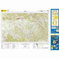 Topografische kaart 995-II Oria | CNIG - Instituto Geográfico Nacional1
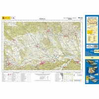 Topografische kaart 995-III Tíjola | CNIG - Instituto Geográfico Nacional1
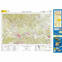 Topografische kaart 995-IV Olulu del Río | CNIG - Instituto Geográfico Nacional1
 Topografische kaart 996-I Taberno | CNIG - Instituto Geográfico Nacional
 Topografische kaart 996-II Úrcal | CNIG - Instituto Geográfico Nacional
 Topografische kaart 996-III Albox | CNIG - Instituto Geográfico Nacional
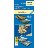 Topografische kaart 996-IV Huércal-Overa | CNIG - Instituto Geográfico Nacional
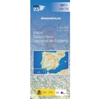 Topografische kaart 997-I Almendricos | CNIG - Instituto Geográfico Nacional
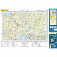 Topografische kaart 998-I Santa Clara | CNIG - Instituto Geográfico Nacional1
 Topografische kaart 998-II Lepe | CNIG - Instituto Geográfico Nacional1
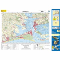 Topografische kaart 998-III Ayamonte | CNIG - Instituto Geográfico Nacional1
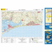 Topografische kaart 998-IV Isla Cristina | CNIG - Instituto Geográfico Nacional1
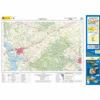 Topografische kaart 999-I Cartaya | CNIG - Instituto Geográfico Nacional1
 Topografische kaart 999-II Huelva | CNIG - Instituto Geográfico Nacional
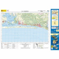 Topografische kaart 999-III El Rompido | CNIG - Instituto Geográfico Nacional1
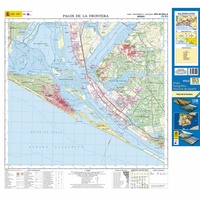 Topografische kaart 999-IV/1016-II Palos de la Frontera | CNIG - Instituto Geográfico Nacional1
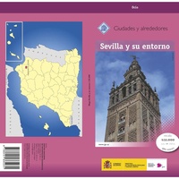 Stadsplattegrond Sevilla y su entorno especial | CNIG - Instituto Geográfico Nacional
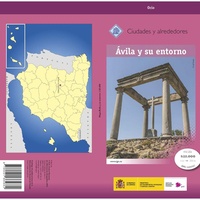 Stadsplattegrond Ávila y su entorno especial | CNIG - Instituto Geográfico Nacional
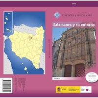 Stadsplattegrond Salamanca y su entorno especial | CNIG - Instituto Geográfico Nacional
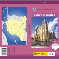 Stadsplattegrond León y su entorno especial | CNIG - Instituto Geográfico Nacional
Laatste reviews

Hele duidelijke wandelkaart. Prima om een huttentocht op uit te stippelen.
★★★★★ door Esmeralda 24 februari 2025 | Heeft dit artikel gekocht
Deze kaart past goed bij de andere kaarten 591 van Portugal. Zeer goed bruikbaar in combinatie met navigatie. Snel geleverd.
★★★★★ door Gert van Eijk 24 februari 2025 | Heeft dit artikel gekocht
Deze kaart past goed bij de andere kaarten van Portugal. Zeer goed bruikbaar in combinatie met navigatie. Snel geleverd.
★★★★★ door Gert van Eijk 24 februari 2025 | Heeft dit artikel gekocht
Uitstekende kaart die een mooi overzicht laat zien van de omgeving en geschikt is voor e meeste wandelingen. Als je echt gebruik wil maken van …
★★★★★ door Thom 24 februari 2025 | Heeft dit artikel gekocht