Winkelwagen
Geen items in winkelwagen
Ga naar winkelwagen
Wandelkaarten - Champagne - Ardennen
Overzichtskaarten
-
Wandelkaarten IGN 25.000 Champagne - Ardennen: Zuid
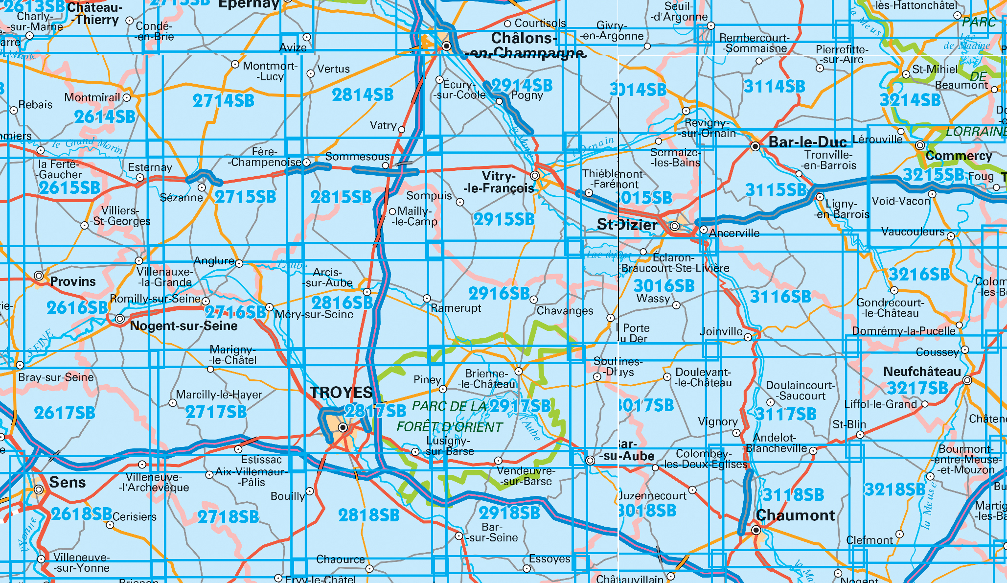
Producten op deze overzichtskaart:
Klik op een product om naar de pagina van dat product te gaan.
- Wandelkaart - Topografische kaart 2615SB Esternay, Villiers-St-Georges | IGN - Institut Géographique National
- Wandelkaart - Topografische kaart 2616SB Provins | IGN - Institut Géographique National
- Wandelkaart - Topografische kaart 2714SB Montmort-Lucy | IGN - Institut Géographique National
- Wandelkaart - Topografische kaart 2715SB Connantre - Sézanne | IGN - Institut Géographique National
- Wandelkaart - Topografische kaart 2716SB Romilly-sur-Seine | IGN - Institut Géographique National
- Wandelkaart - Topografische kaart 2717SB Estissac | IGN - Institut Géographique National
- Wandelkaart - Topografische kaart 2718SB Auxon | IGN - Institut Géographique National
- Wandelkaart - Topografische kaart 2814SB Thibie - Vertus | IGN - Institut Géographique National
- Wandelkaart - Topografische kaart 2815SB Mailly-le-Camp, Fère-Champenoise | IGN - Institut Géographique National
- Wandelkaart - Topografische kaart 2816SB Arcis-sur-Aube, Plancy-l'Abbaye | IGN - Institut Géographique National
- Wandelkaart - Topografische kaart 2817SB Troyes, Lusigny-sur-Barse | IGN - Institut Géographique National
- Topografische kaart - Wandelkaart 2818SB Bouilly | IGN - Institut Géographique National
- Wandelkaart - Topografische kaart 2914SB Marson, Châlons-en-Champagne | IGN - Institut Géographique National
- Wandelkaart - Topografische kaart 2915SB Vitry-le-François, Sompuis | IGN - Institut Géographique National
- Wandelkaart - Topografische kaart 2916SB Chavanges, Dampierre | IGN - Institut Géographique National
- Wandelkaart - Topografische kaart 2917SB Brienne-le-Chateau, Piney, Lacs de la Foret d'Orient | IGN - Institut Géographique National
- Topografische kaart - Wandelkaart 2918SB Bar-sur-Seine | IGN - Institut Géographique National
- Wandelkaart - Topografische kaart 3014SB Revigny-sur-Ornain | IGN - Institut Géographique National
- Wandelkaart - Topografische kaart 3015SB Saint-Dizier, Pargny-sur-Saulx | IGN - Institut Géographique National
- Wandelkaart - Topografische kaart 3016SB Wassy, Montier-en-Der, Lac du Der-Chantecoq | IGN - Institut Géographique National
- Wandelkaart - Topografische kaart 3017SB Doulevant-le-Chateau, Soulaines, Dhuys | IGN - Institut Géographique National
- Topografische kaart - Wandelkaart 3018SB Bar-sur-Aube | IGN - Institut Géographique National
- Wandelkaart - Topografische kaart 3114SB Pierrefitte-sur-Aire | IGN - Institut Géographique National
- Wandelkaart - Topografische kaart 3115SB Bar-le-Duc | IGN - Institut Géographique National
- Wandelkaart - Topografische kaart 3116SB Joinville | IGN - Institut Géographique National
- Wandelkaart - Topografische kaart 3117SB Doulaincourt, Saucourt, Andelot-Blancheville | IGN - Institut Géographique National
- Wandelkaart - Topografische kaart 3118SB Chaumont, Biesles | IGN - Institut Géographique National
- Topografische kaart - Wandelkaart 3119SB Nogent | IGN - Institut Géographique National
- Topografische kaart - Wandelkaart 3120SB Langres - Auberive | IGN - Institut Géographique National
- Wandelkaart - Topografische kaart 3215SB Commercy | IGN - Institut Géographique National
- Wandelkaart - Topografische kaart 3216SB Gondrecourt-le-Château | IGN - Institut Géographique National
- Wandelkaart - Topografische kaart 3217SB Neufchateau, St-Blin | IGN - Institut Géographique National
- Wandelkaart - Topografische kaart 3218SB Bourmont - Clefmont | IGN - Institut Géographique National
- Wandelkaart - Topografische kaart 3219SB Bourbonne-les-Bains - Val-de-Meuse (Montigny-le-Roi) | IGN - Institut Géographique National
-
Wandelkaarten IGN 25.000 Champagne - Ardennen: Noord
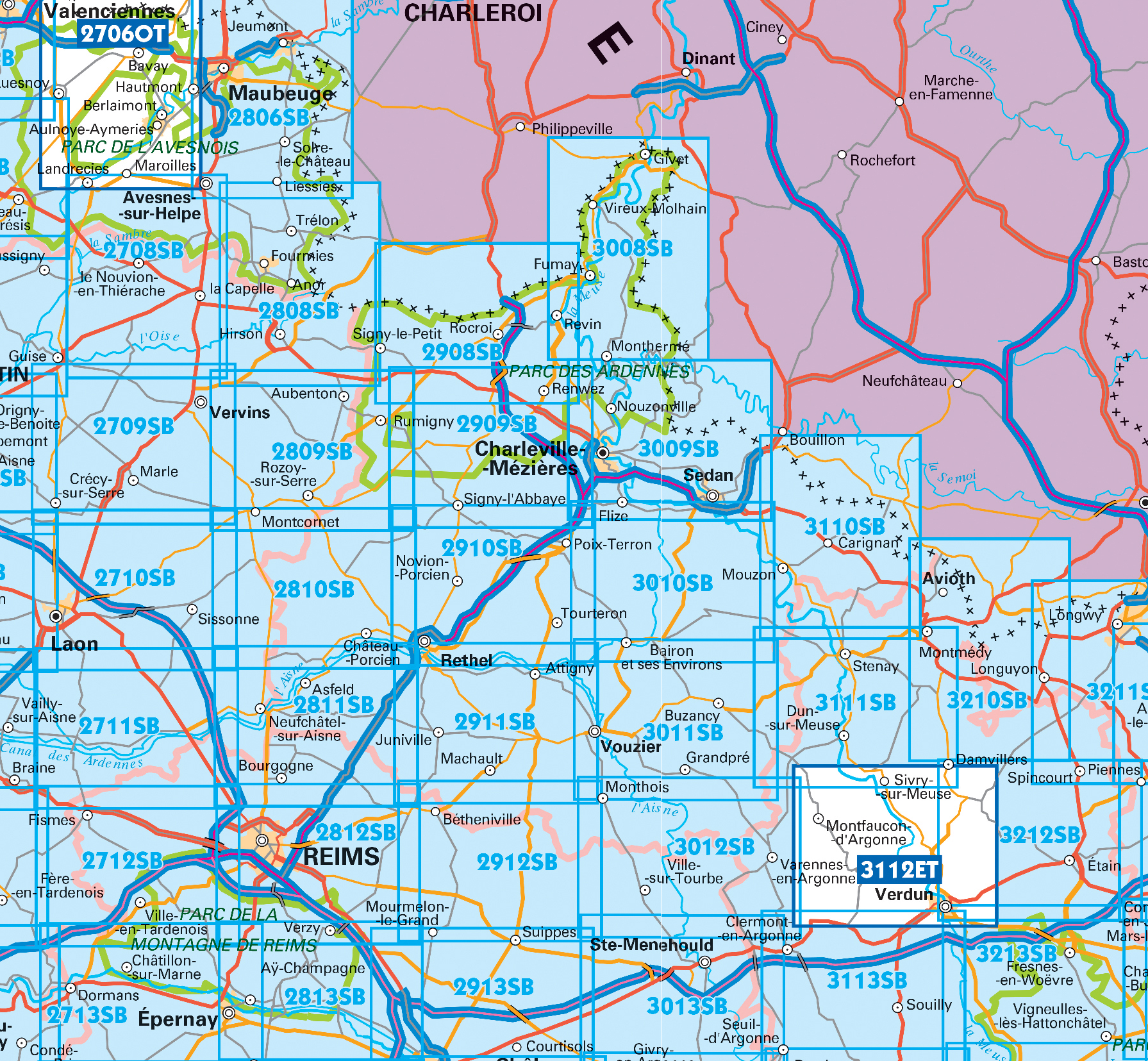
Producten op deze overzichtskaart:
Klik op een product om naar de pagina van dat product te gaan.
- Wandelkaart - Topografische kaart 2711SB Craonne - Beaurieux | IGN - Institut Géographique National
- Wandelkaart - Topografische kaart 2712SB Gueux - Fismes | IGN - Institut Géographique National
- Wandelkaart - Topografische kaart 2713SB Epernay - Dormans | IGN - Institut Géographique National
- Wandelkaart - Topografische kaart 2809SB Rozoy-sur-Serre - Aubenton | IGN - Institut Géographique National
- Wandelkaart - Topografische kaart 2810SB Château-Porcien, Dizy-le-Gros | IGN - Institut Géographique National
- Wandelkaart - Topografische kaart 2811SB Bazancourt - Guignicourt - Asfeld | IGN - Institut Géographique National
- Wandelkaart - Topografische kaart 2812SB Verzy - Reims | IGN - Institut Géographique National
- Wandelkaart - Topografische kaart 2813SB Epernay-Verzy | IGN - Institut Géographique National
- Wandelkaart - Topografische kaart 2908SB Revin, Rocroi, Maubert-Fontaine | IGN - Institut Géographique National
- Wandelkaart - Topografische kaart 2909SB Renwez-Signy, L'Abbaye | IGN - Institut Géographique National
- Wandelkaart - Topografische kaart 2910SB Rethel - Tourteron | IGN - Institut Géographique National
- Wandelkaart - Topografische kaart 2911SB Attigny | IGN - Institut Géographique National
- Wandelkaart - Topografische kaart 2912SB Mourmelon-le-Grand | IGN - Institut Géographique National
- Wandelkaart - Topografische kaart 2913SB Châlons-en-Champagne | IGN - Institut Géographique National
- Topografische kaart - Wandelkaart 3008SB Fumay | IGN - Institut Géographique National
- Wandelkaart - Topografische kaart 3009SB Charleville-Mézières | IGN - Institut Géographique National
- Wandelkaart - Topografische kaart 3010SB le Chesne | IGN - Institut Géographique National
- Wandelkaart - Topografische kaart 3011SB Vouziers | IGN - Institut Géographique National
- Topografische kaart - Wandelkaart 3012SB Varennes-en-Argonne | IGN - Institut Géographique National
- Wandelkaart - Topografische kaart 3013SB Ste-Menehould | IGN - Institut Géographique National
- Wandelkaart - Topografische kaart 3110SB Carignan | IGN - Institut Géographique National
- Wandelkaart - Topografische kaart 3111SB Stenay | IGN - Institut Géographique National
- Wandelkaart - Topografische kaart 3112ET Forêts de Verdun et du Mort-Homme | IGN - Institut Géographique National
- Wandelkaart - Topografische kaart 3113SB Clermont-en-Argonne | IGN - Institut Géographique National
- Wandelkaart - Topografische kaart 3213SB Vigneulles-lès-Hattonchâtel | IGN - Institut Géographique National
 Wandelkaart - Topografische kaart 3112ET Forêts de Verdun et du Mort-Homme | IGN - Institut Géographique National★★★★★
 Wandelkaart - Topografische kaart 2908SB Revin, Rocroi, Maubert-Fontaine | IGN - Institut Géographique National
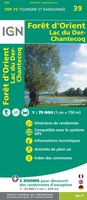 Wandelkaart - Fietskaart 39 Forêt d'Orient, Lac du Der-Chantecoq | IGN - Institut Géographique National
 Wandelkaart 5 GR Namen, Maas en Franse Ardennen | Alta Via★★★★★
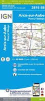 Wandelkaart - Topografische kaart 2816SB Arcis-sur-Aube, Plancy-l'Abbaye | IGN - Institut Géographique National
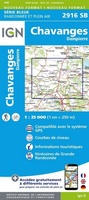 Wandelkaart - Topografische kaart 2916SB Chavanges, Dampierre | IGN - Institut Géographique National
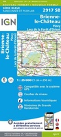 Wandelkaart - Topografische kaart 2917SB Brienne-le-Chateau, Piney, Lacs de la Foret d'Orient | IGN - Institut Géographique National
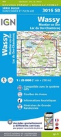 Wandelkaart - Topografische kaart 3016SB Wassy, Montier-en-Der, Lac du Der-Chantecoq | IGN - Institut Géographique National
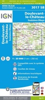 Wandelkaart - Topografische kaart 3017SB Doulevant-le-Chateau, Soulaines, Dhuys | IGN - Institut Géographique National★★★★★
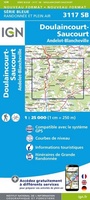 Wandelkaart - Topografische kaart 3117SB Doulaincourt, Saucourt, Andelot-Blancheville | IGN - Institut Géographique National
 Wandelkaart - Topografische kaart 3118SB Chaumont, Biesles | IGN - Institut Géographique National
 Wandelkaart - Topografische kaart 3217SB Neufchateau, St-Blin | IGN - Institut Géographique National
 Wandelkaart - Topografische kaart 2706OT Foret De Mormal | IGN - Institut Géographique National★★★★★
 Wandelkaart - Topografische kaart 3011SB Vouziers | IGN - Institut Géographique National
 Topografische kaart - Wandelkaart 3119SB Nogent | IGN - Institut Géographique National
 Wandelkaart - Topografische kaart 2806SB Jeumont - Maubeuge | IGN - Institut Géographique National
 Topografische kaart - Wandelkaart 3008SB Fumay | IGN - Institut Géographique National★★★★★★★★★★
 Wandelkaart - Topografische kaart 2809SB Rozoy-sur-Serre - Aubenton | IGN - Institut Géographique National★★★★★
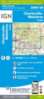 Wandelkaart - Topografische kaart 3009SB Charleville-Mézières | IGN - Institut Géographique National★★★★★
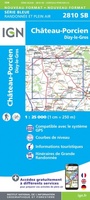 Wandelkaart - Topografische kaart 2810SB Château-Porcien, Dizy-le-Gros | IGN - Institut Géographique National
- 1
- 2
- 3
- Volgende >>
- 4
Laatste reviews

Het is aan te bevelen
het is heel goed
★★★★★ door Marc 11 mei 2024 | Heeft dit artikel gekocht
Prima service en leuk artikel
Hallo, metrokaart van Delft gekocht. Die bestaat natuurlijk niet, maar wel heel leuk bedacht met de gekste steenkolen Engelse termen als haltes. Hilarisch. Ik hen …
★★★★★ door Nellie 10 mei 2024 | Heeft dit artikel gekocht
Uitstekende wandelingen
We hebben het boekje alleen gebruikt om wandelingen uit te halen. I.v.m. kleine kinderen hebben we vooral de 'short walks for motorists' gelopen, die echter …
★★★★★ door Jochem 10 mei 2024 | Heeft dit artikel gekocht
Prima
Prima. Wel erg gefocust op jonge mensen die geïnteresseerd zouden zijn in hippe winkeltjes en cafeetjes.
★★★★★ door Miquel 10 mei 2024 | Heeft dit artikel gekocht